Layanan Kontraktual
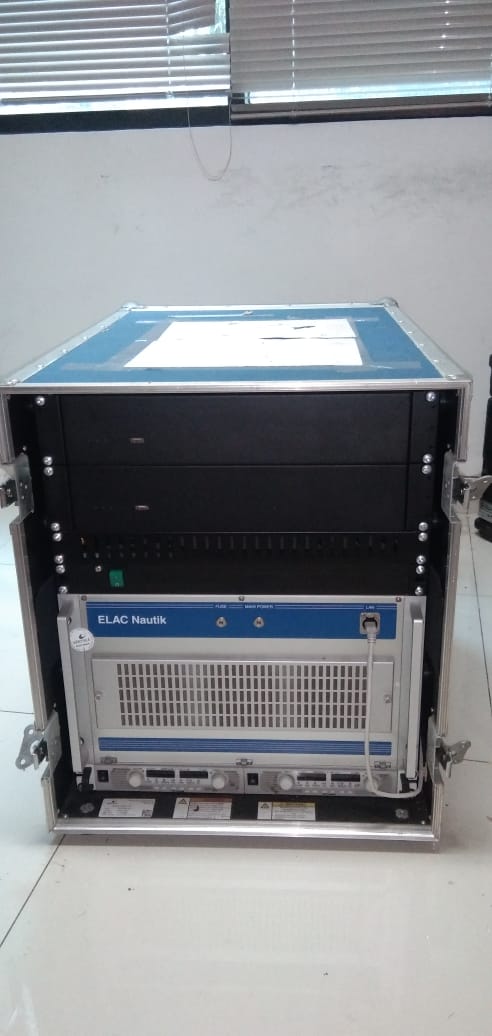
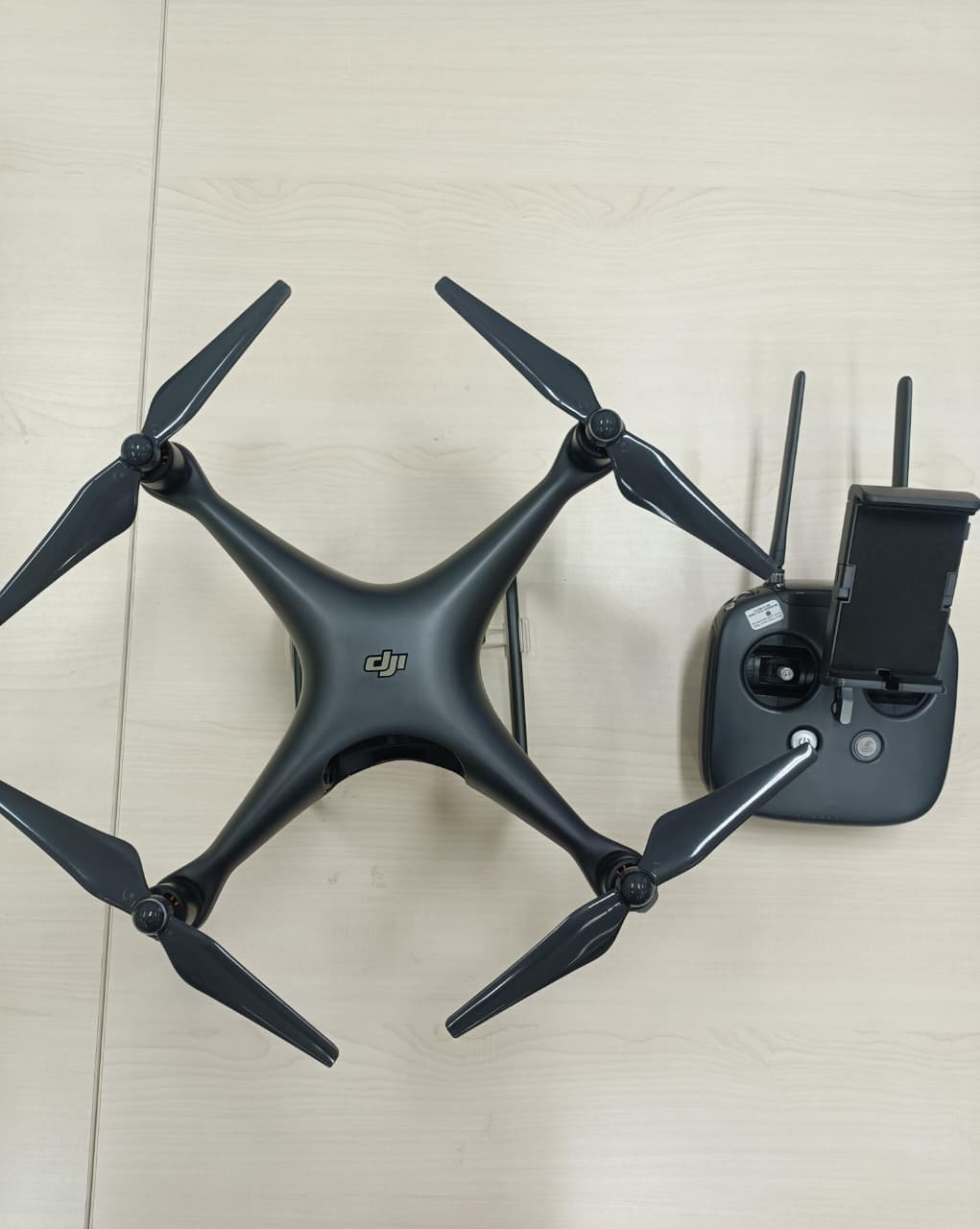
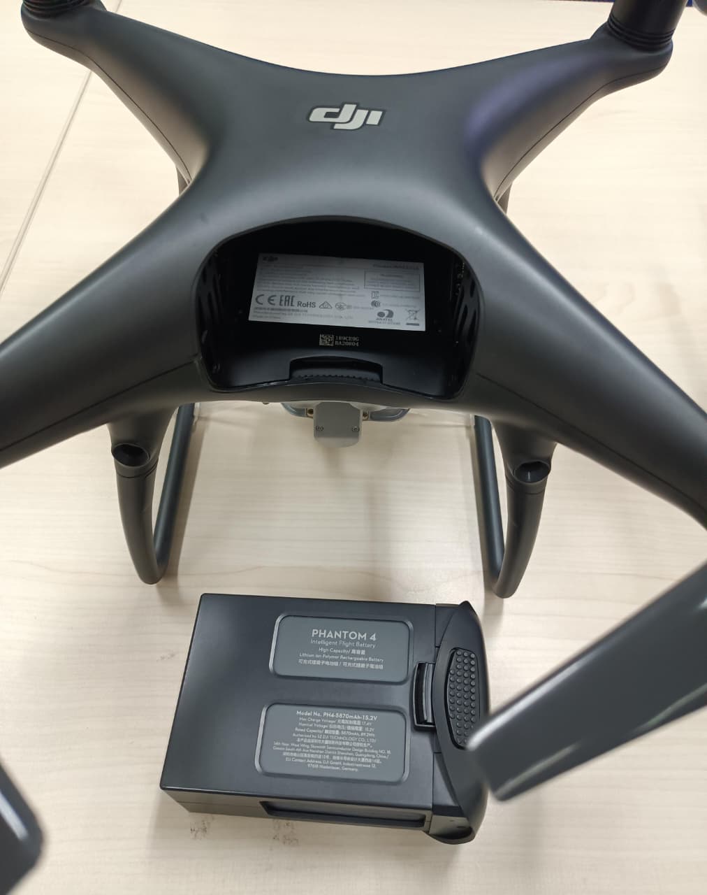
DESKRIPSI LAYANAN | (Wajib berlisensi pilot drone) Drone quadcopter yang dilengkapi dengan kamera beresolusi tinggi 4K dan sistem stabilisasi gimbal 3-axis untuk menghasilkan gambar dan video udara yang tajam dan halus. Drone ini memiliki fitur navigasi cerdas seperti Obstacle…
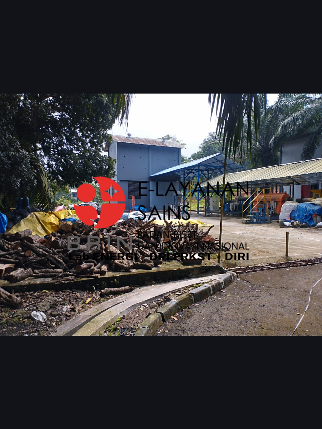
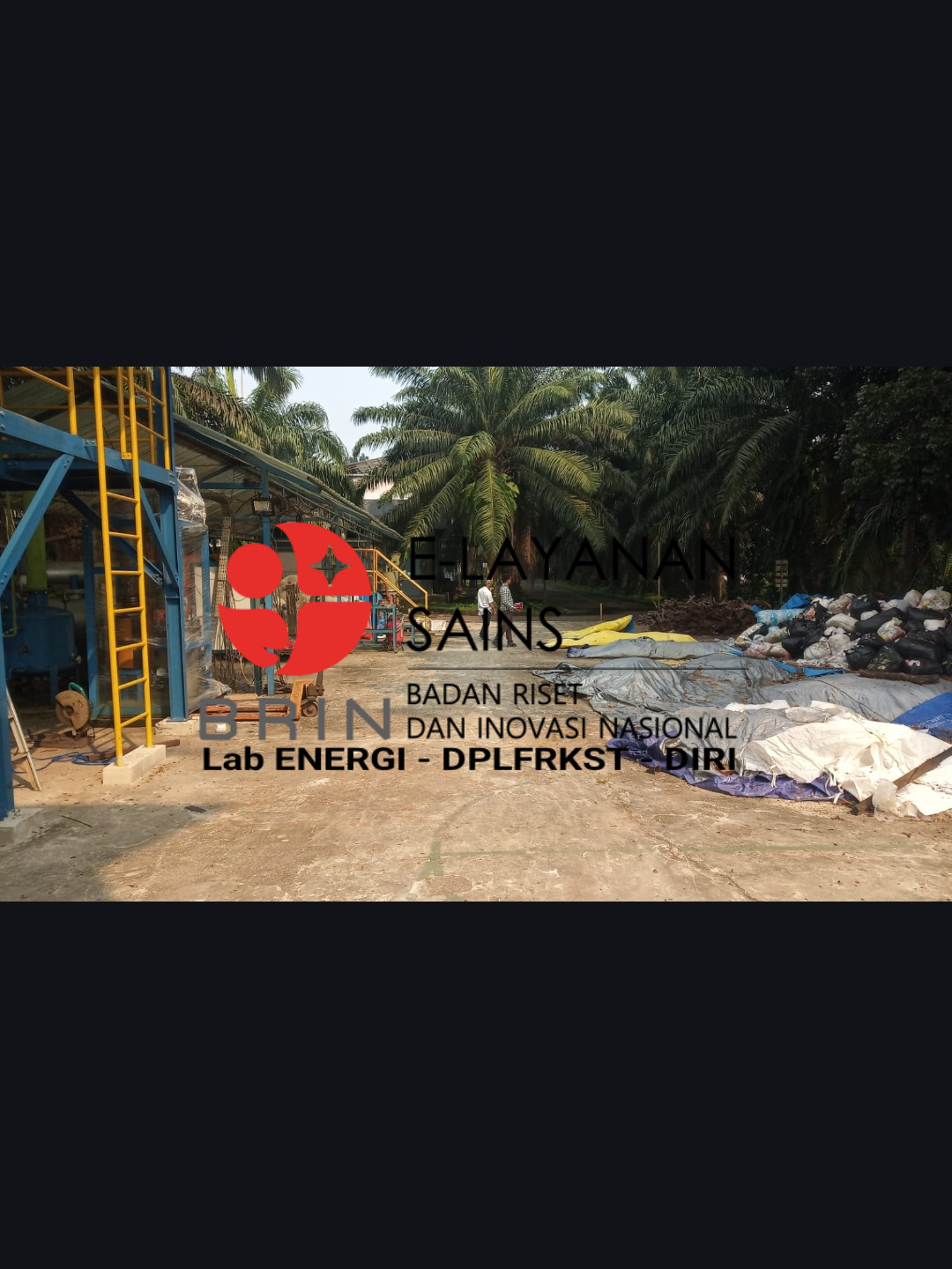
- Laboratorium Alat Survei - Geospatial dan Kartografi
- Direktorat Pengelolaan Laboratorium, Fasilitas Riset, dan Kawasan Sains dan Teknologi
- KST Serpong (Bacharuddin Jusuf Habibie)
KST BJ Habibie Serpong Gedung 255 Laboratorium Alat Survei - 08119811551
- pengelolaan_alatsurvei@brin.go.id
Marketing Office
Deputi Bidang Infrastruktur Riset dan Inovasi BRIN
layanan_sains@brin.go.id
(Wajib berlisensi pilot drone) Drone quadcopter yang dilengkapi dengan kamera beresolusi tinggi 4K dan sistem stabilisasi gimbal 3-axis untuk menghasilkan gambar dan video udara yang tajam dan halus. Drone ini memiliki fitur navigasi cerdas seperti Obstacle Sensing System, TapFly, dan ActiveTrack, serta mampu terbang hingga sekitar 28 menit dengan kecepatan maksimal sekitar 72 km/jam. Cocok digunakan untuk pemetaan, survei, dan dokumentasi udara dengan akurasi tinggi.