

Free
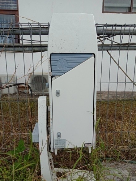
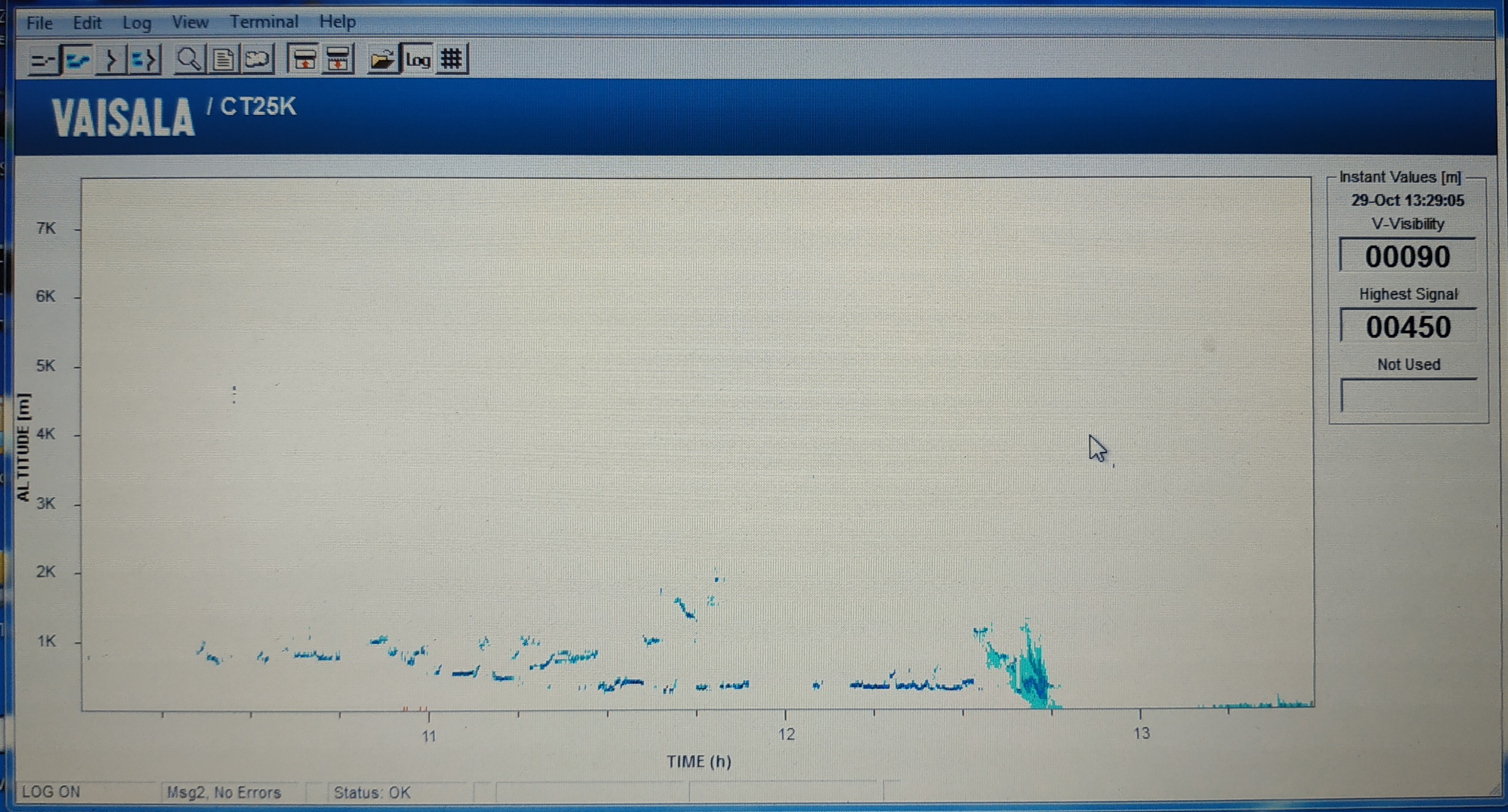
SERVICE DESCRIPTION | The Ceilometer is a instrument at the Agam Earth and Observation Station that measures cloud base height and vertical visibility using CT25K laser diode (LIDAR) technology. The Ceilometer data is generated in log files and can be converted to .txt format.…
- Stasiun Bumi dan Observasi Agam
- KSL Stasiun Bumi dan Observasi Agam
Kawasan Stasiun Lapangan Stasiun Bumi dan Observasi Agam Jl. Lintas Bukittinggi-Medan KM 16 Bukit Kototabang, Jorong Muaro, Nagari Koto Rantang Kecamatan Palupuh, Kabupaten Agam - 08126780793
- stasantariksaagam@brin.go.id
The Ceilometer is a instrument at the Agam Earth and Observation Station that measures cloud base height and vertical visibility using CT25K laser diode (LIDAR) technology. The Ceilometer data is generated in log files and can be converted to .txt format. The temporal resolution is 15 seconds with a maximum altitude of 7.3 km.
Data is available from 2002 to the present in .dat format every 6 hours (four .dat files per day).
When requesting this service, please specify the data requirements (data timeframe).
Note:
To confirm data availability or if you require processed data in .txt format, please contact the Agam Earth and Observation Station via email at stasantariksaagam@brin.go.id.
How to Apply:
1. Click the APPLY FOR SERVICE button
2. Fill in the PLAN SERVICE DELIVERY DATE with today's date (the submission day)
3. Fill in the QUANTITY with 1
4. Fill in the DESCRIPTION with an explanation of the data needs, including the date range of the data required
5. Fill in the DELIVERY METHOD with TAKEN BY YOURSELF/DIRECTLY
Data is available from 2002 to the present in .dat format every 6 hours (four .dat files per day).
When requesting this service, please specify the data requirements (data timeframe).
Note:
To confirm data availability or if you require processed data in .txt format, please contact the Agam Earth and Observation Station via email at stasantariksaagam@brin.go.id.
How to Apply:
1. Click the APPLY FOR SERVICE button
2. Fill in the PLAN SERVICE DELIVERY DATE with today's date (the submission day)
3. Fill in the QUANTITY with 1
4. Fill in the DESCRIPTION with an explanation of the data needs, including the date range of the data required
5. Fill in the DELIVERY METHOD with TAKEN BY YOURSELF/DIRECTLY