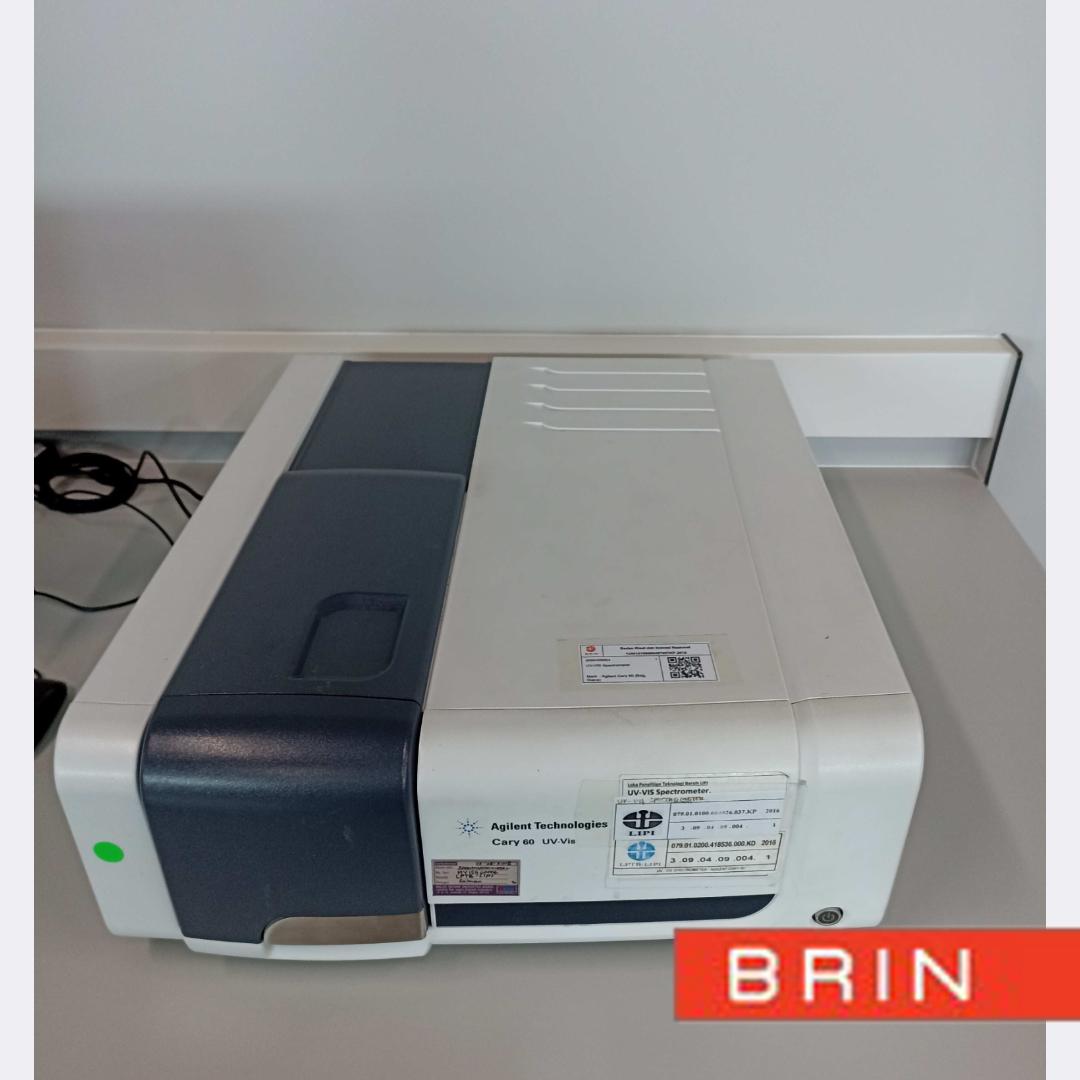
Paid
SERVICE DESCRIPTION | Multibeam Echosounder Data Acquisition Software Software that can be used for multibeam echosounder data acquisition. Bathymetric data acquisition software can be used to carry out survey planning and implementation of bathymetric surveys. This software…
- Laboratorium Alat Survei - Teknologi dan Instrumentasi
- Puspiptek - Serpong
KST BJ Habibie Serpong Gedung 255 Laboratorium Alat Survei - 08119811551
- pengelolaan_alatsurvei@brin.go.id
Marketing Office
Deputi Bidang Infrastruktur Riset dan Inovasi BRIN
layanan_sains@brin.go.id
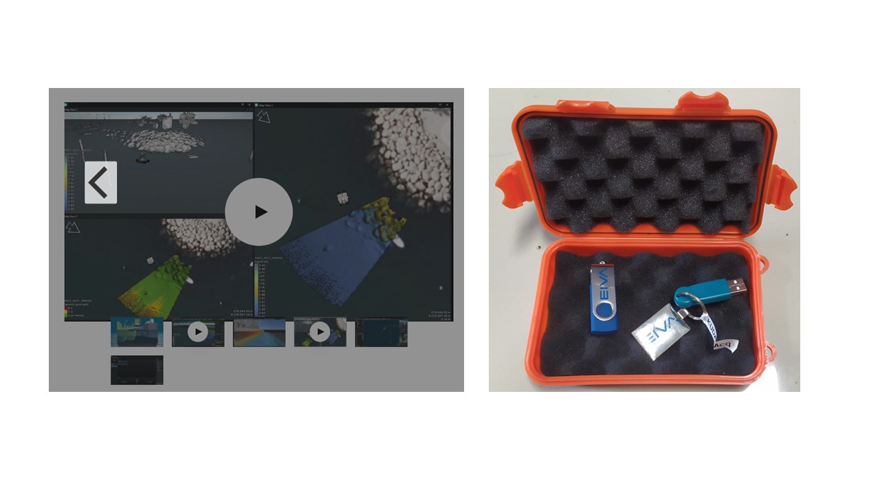
Multibeam Echosounder Data Acquisition Software
Software that can be used for multibeam echosounder data acquisition. Bathymetric data acquisition software can be used to carry out survey planning and implementation of bathymetric surveys. This software has the ability to create survey trails and display work plan maps (background maps) from CAD, Geotiff, ESRI etc. formats. During the survey, the software in question can be configured to connect and be able to record data from the Multi Beam Echosounder and supporting sensors (DGPS, MRU, heading sensor, online Sound Velocity) as well as Side Scan Sonar (SSS) tools, and USBL from various brands and type. In addition, it can also display the ship's position and bathymetry results in real time. Thus, with this software, surveyors can directly acquire bathymetry data by following the survey routes that have been planned and can carry out Quality Control (QC) of survey results in real time.
Software Brand:
EIVA Navisuite
Function :
• Has functions for survey navigation data acquisition, single beam, multibeam, and side scan sonar.
• Has a function to record data range (depth) and backscatter
• Has a function to perform data post-processing single-beam echosounder and multibeam echosounder specifically for patch test calibration