Rp 300.000
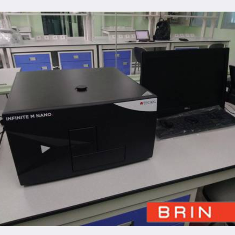
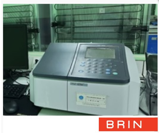
SERVICE DESCRIPTION | Coastal Field Data Processing hardware services are services that provide the hardware necessary to process and analyze data collected from coastal areas. The primary purpose of this service is to transform raw data collected in the field (e.g., bathymetry,…
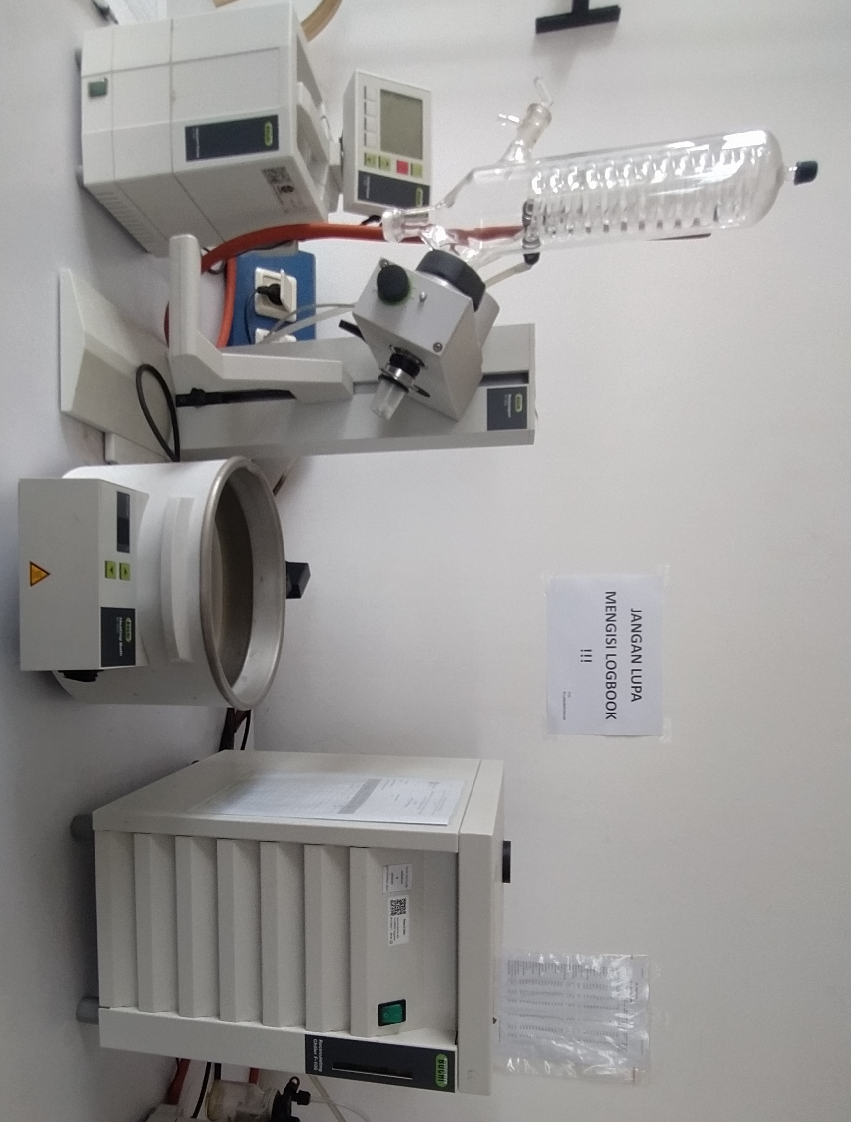
- Layanan Laboratorium Mekanika Fluida - Dinamika Pesisir dan Rekayasa Pantai - KS Subandono Diposaptono - Mlati
- KS Mlati (Subandono Diposaptono)
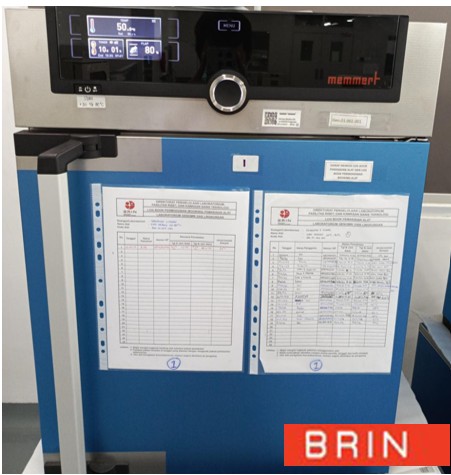
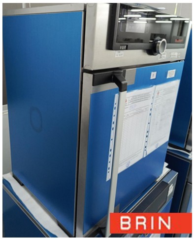
Layanan Laboratorium Mekanika Fluida - Dinamika Pesisir dan Rekayasa Pantai BRIN Kawasan Sains Subandono Diposaptono Jl. Grafika No. 2, Sinduadi, Mlati, Kab. Sleman, DI Yogyakarta 55284 - 08119811586
- labpantai@brin.go.id
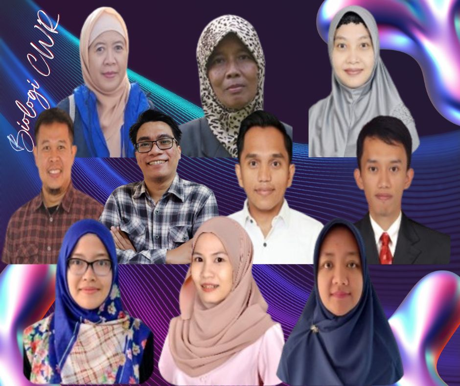
Marketing Office
Deputi Bidang Infrastruktur Riset dan Inovasi BRIN
layanan_sains@brin.go.id
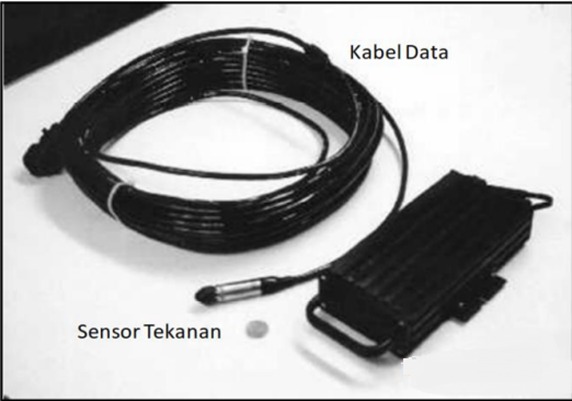
Coastal Field Data Processing hardware services are services that provide the hardware necessary to process and analyze data collected from coastal areas.
The primary purpose of this service is to transform raw data collected in the field (e.g., bathymetry, tidal data, water quality data, or satellite imagery) into useful and easily understood information. This information can then be used for various purposes, such as:
Coastal planning and management: Assisting in determining conservation zones, aquaculture locations, or shipping routes.
Environmental impact studies: Analyzing the impacts of human activities (e.g., reclamation or offshore drilling) on coastal ecosystems.
Modeling: Predicting future changes in coastal conditions, such as coastal erosion or sea level rise.
Thematic map creation: Producing maps that display specific information, such as ocean depth maps or sediment distribution maps.