Layanan Kontraktual
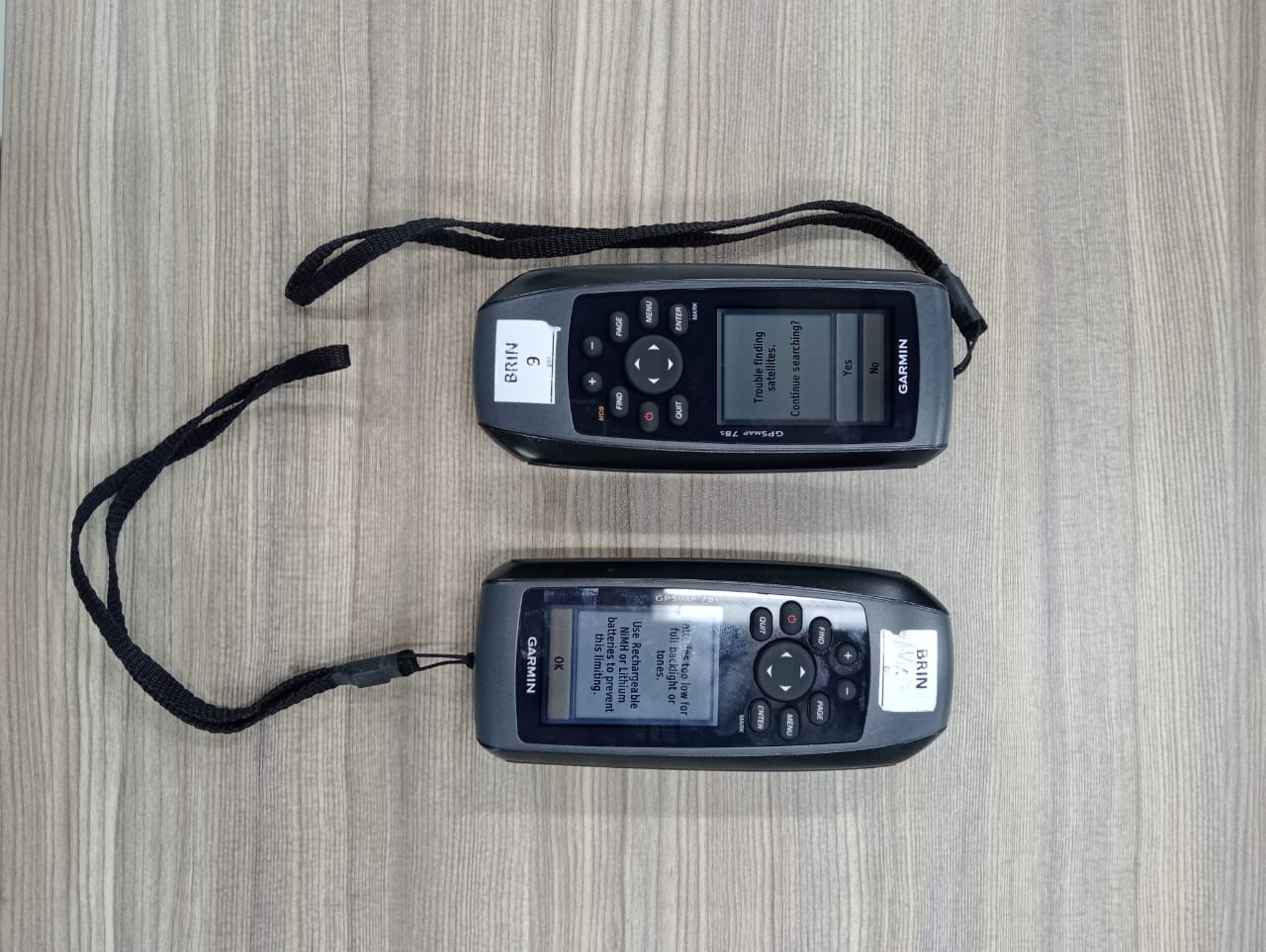
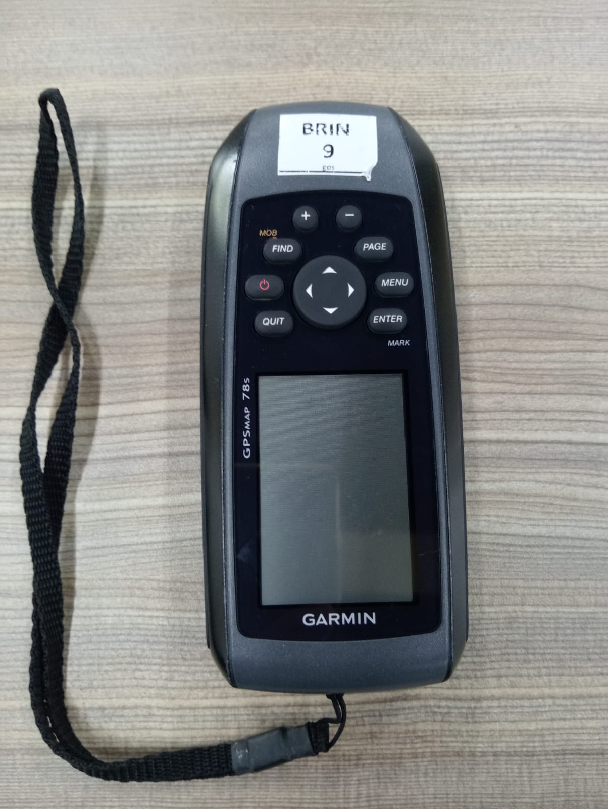
DESKRIPSI LAYANAN | GPS (Global Positioning System) adalah sistem satelit navigasi dan penentuan posisi yang dimiliki dan dikelola oleh Amerika Serikat. Sistem ini didesain untuk memberikan posisi dan kecepatan tiga dimensi serta informasi mengenai waktu, secara kontinyu…
- Laboratorium Geodiversitas
- Direktorat Pengelolaan Laboratorium, Fasilitas Riset, dan Kawasan Sains dan Teknologi
- KKI Kawasan Geodiversitas (Sukendar Asikin)
Kawasan Konservasi Ilmiah Geodiversitas JL. Karangsambung Km.19, Karangsambung, Kebumen, Jawa Tengah 54353 - 08156719080
- labgeodiversitas@brin.go.id
Marketing Office
Deputi Bidang Infrastruktur Riset dan Inovasi BRIN
layanan_sains@brin.go.id
GPS (Global Positioning System) adalah sistem satelit navigasi dan penentuan posisi yang dimiliki dan dikelola oleh Amerika Serikat. Sistem ini didesain untuk memberikan posisi dan kecepatan tiga dimensi serta informasi mengenai waktu, secara kontinyu di seluruh dunia tanpa bergantung waktu dan cuaca, kepada banyak orang secara simultan. Pada saat ini, system GPS sudah banyak igunakan orang di seluruh dunia. Di Indonesia pun, GPS sudah banyak diaplikasikan terutama yang terkait dengan aplikasi-aplikasi yang menuntut informasi tentang posisi. GPS mempunyai banyak kelebihan dan menawarkan lebih banyak keuntungan, baik dalam segi operasionalisasinya maupun kualitas posisi yang diberikan. GPS Map sangat efektif digunakan dalam survey lapangan maupun pemetaan geologi.