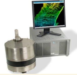
SERVICE DESCRIPTION | GeoMa Geo Office (GGO) Description Following Microsoft Windows® standards, GeoMa Geo Office (GGO) is user-friendly, even for beginner PC users. With its use of icons and graphics, working with data in GGO is as simple as pointing and clicking. GGO ensures…
- Laboratorium Alat Survei - Geospatial dan Kartografi
- KST Serpong (Bacharuddin Jusuf Habibie)
KST BJ Habibie Serpong Gedung 255 Laboratorium Alat Survei - 08119811551
- pengelolaan_alatsurvei@brin.go.id
GeoMa Geo Office (GGO) Description
Following Microsoft Windows® standards, GeoMa Geo Office (GGO) is user-friendly, even for beginner PC users. With its use of icons and graphics, working with data in GGO is as simple as pointing and clicking. GGO ensures compatibility for GNSS processing with a variety of sensor brands, thanks to its RINE Import/Export options. Using the industry-standard RINE format, you can import data from third-party receivers and perform post-processing within GGO.
GGO is equipped with a comprehensive set of tools that enable you to maximize your equipment before conducting field surveys. Once you complete the survey and import the field results into GGO, all observations are immediately available for visual confirmation of field activities. If any errors or changes are detected, the data can easily be edited to ensure perfect results.
When GNSS data post-processing is required, GGO provides cutting-edge technology to always deliver optimal results. Simply import the data, and GGO will automatically process all possible GNSS baselines. Once the results are available, the data can be presented in customized reports.
The Least Squares Adjustment 3D option allows data adjustment using the least squares method for GNSS, total station, and combined data, leveraging various parameters and coordinate systems. The results are saved in a well-designed HTML report.
With this tool, you can:
- Perform precise and accurate data adjustments for GNSS, total station surveys, or a combination of both.
- Utilize various parameters and coordinate systems as required by your project.
- Generate high-quality reports in easy-to-read and understandable HTML format.
This feature ensures the integrity and reliability of your survey data, providing optimal results for further analysis.