Paid
SERVICE DESCRIPTION | Description of Hypack 6.2b Hypack 6.2b is a software used for hydrographic surveying and underwater mapping. This software is developed by HYPACK, Inc., a company specializing in providing software solutions for marine surveying, hydrography, and mapping.…
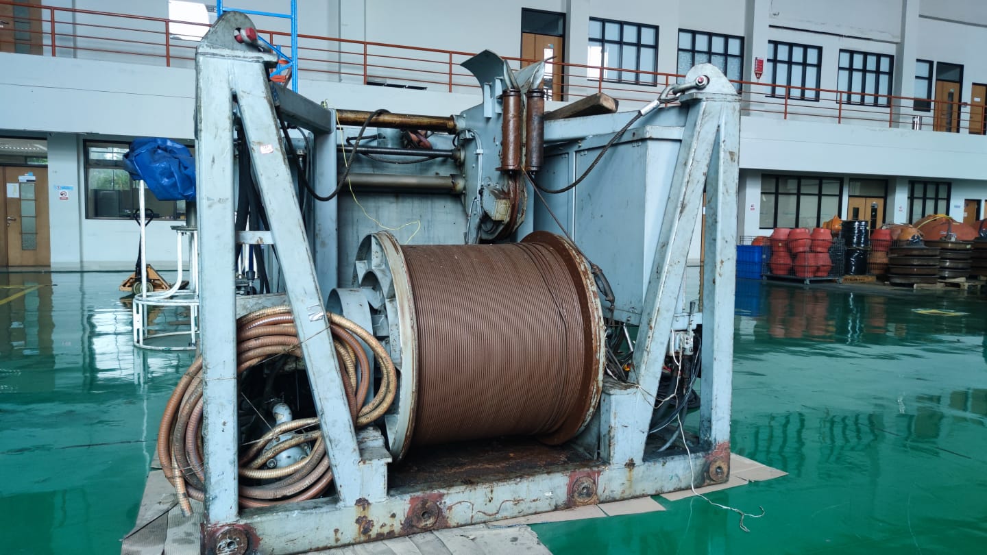
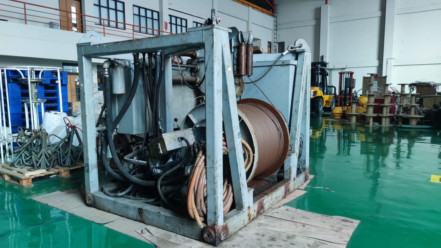
- Laboratorium Alat Survei - Kelautan dan Lingkungan
- KST Serpong (Bacharuddin Jusuf Habibie)
KST BJ Habibie Serpong Gedung 255 Laboratorium Alat Survei - 08119811551
- pengelolaan_alatsurvei@brin.go.id
Marketing Office
Deputi Bidang Infrastruktur Riset dan Inovasi BRIN
layanan_sains@brin.go.id
Description of Hypack 6.2b
Hypack 6.2b is a software used for hydrographic surveying and underwater mapping. This software is developed by HYPACK, Inc., a company specializing in providing software solutions for marine surveying, hydrography, and mapping. Hypack 6.2b is a version of the Hypack series designed to help professionals collect, process, and analyze hydrographic data with high accuracy.
Key Features of Hypack 6.2b:
1. Data Acquisition: Record and record raw data.
2. Survey Design: Design and plan the survey area.
3. Data Collection: Collect data and apply depth corrections (sounding corrections).
4. Data Processing: Remove outliers (invalid data), create field sheets, and export data to CAD format.
5. Map Making: Create and modify maps for navigation.
6. Contour Making: Generate contours (lines connecting points with the same depth).
7. Side Scan Mosaic Creation: Create a mosaic from side scan sonar data.