SERVICE DESCRIPTION | HYPACK® Sub-bottom + SBP Description HYPACK® Sub-bottom is a software package for Sub-bottom Profiling (SBP) designed for marine geophysical surveys, engineering, geotechnical applications, as well as dredging and mining operations. This software is…
- Laboratorium Alat Survei - Kelautan dan Lingkungan
- KST Serpong (Bacharuddin Jusuf Habibie)
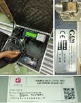
KST BJ Habibie Serpong Gedung 255 Laboratorium Alat Survei - 08119811551
- pengelolaan_alatsurvei@brin.go.id
HYPACK® Sub-bottom + SBP Description
HYPACK® Sub-bottom is a software package for Sub-bottom Profiling (SBP) designed for marine geophysical surveys, engineering, geotechnical applications, as well as dredging and mining operations. This software is a simple and user-friendly solution for all Sub-bottom profiling survey needs.
The package comes with a comprehensive global geodesy model and simplified hardware setup, with the ability to configure the desired positioning system alongside various analog and digital Sub-bottom profiling systems.
The HYPACK® Sub-bottom software is intuitive to configure, following a few simple steps: First, define the project's geodesy, configure the survey hardware, import background charts (ENCs & web maps), plan survey lines, and then start the survey program to acquire data. Within the survey program, the SBP system can be further configured and customized.
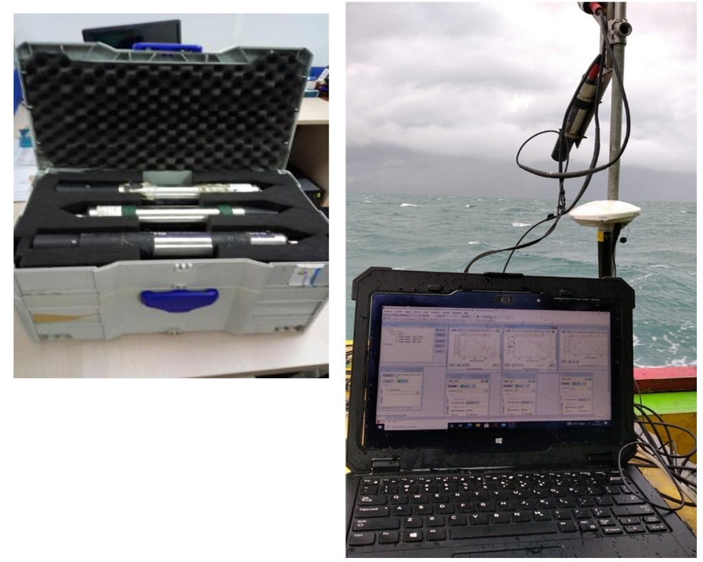
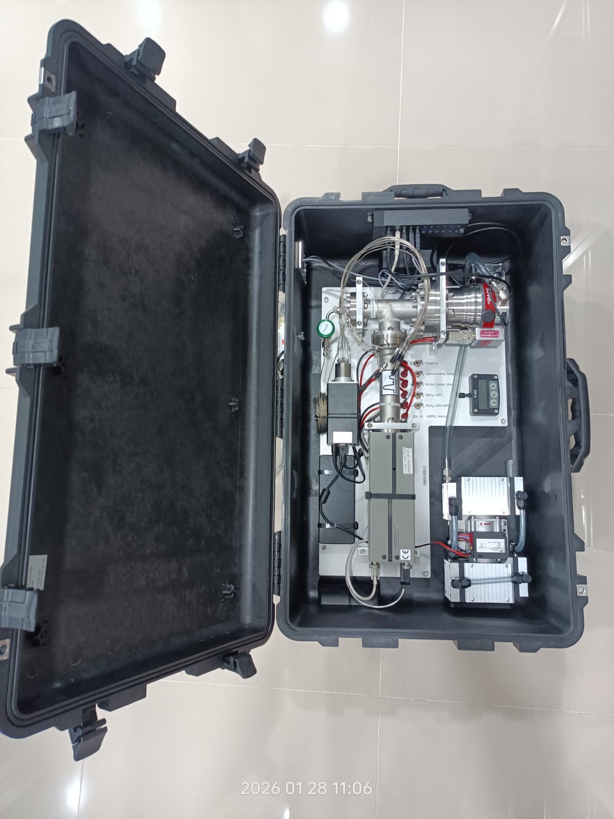
- Sub-bottom Profiling (SBP): HYPACK® Sub-bottom supports a variety of SBP systems, both analog and digital, from leading industry manufacturers.
- Accurate Positioning: For systems mounted on the hull of the vessel, towed, or installed on an Autonomous Underwater Vehicle (AUV) or Remotely Operated Vehicle (ROV). Hull-mounted systems only require a simple GPS. For towed systems, HYPACK® can read more than a dozen cable counters and perform layback calculations, or use acoustic positioning systems like USBL/LBL. Separate navigation files (AUV, ROV) in raw or EDT format are also supported in the complete HYPACK® MAX package.
- Two SBP Systems, No Interference: Advanced triggering systems allow simultaneous acquisition from two different SBP systems without acoustic interference between the systems.
PRODUCT FEATURES:
- Chart Plotting
- Cross Sections & Volumes
- Geodetic Utilities
- Line Planning and Preparation Editors
- Navigation & Vessel Positioning & AIS Support
- Subbottom Acquisition
- Subbottom Processing
- Survey