
Rp 0
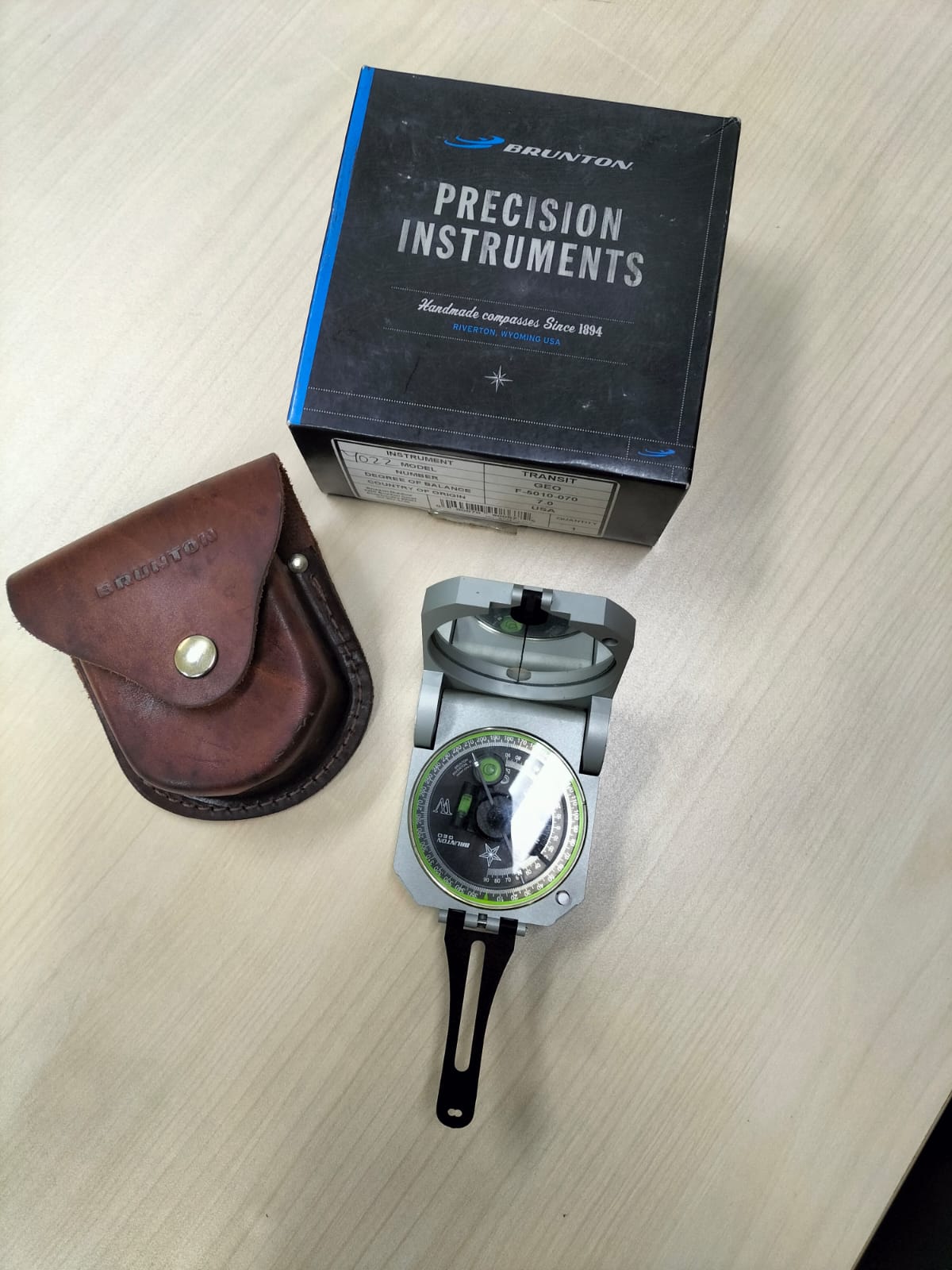
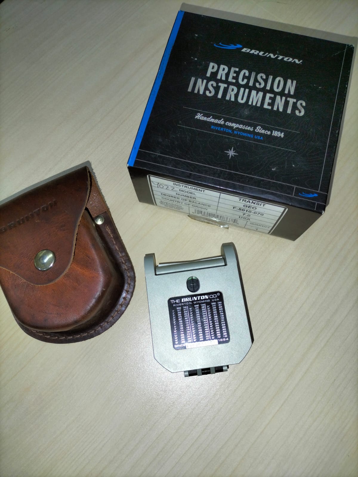
SERVICE DESCRIPTION | The Brunton Geological Compass is a field survey instrument used to measure the strike and dip of geological structures such as rock layers, faults, and fractures. It operates based on the Earth's magnetic field using a magnetic needle to determine…
- Laboratorium Alat Survei - Alat Survei Geosains Darat
- KST Serpong (Bacharuddin Jusuf Habibie)
KST BJ Habibie Serpong Gedung 255 Laboratorium Alat Survei - 08119811551
- pengelolaan_alatsurvei@brin.go.id
Marketing Office
Deputi Bidang Infrastruktur Riset dan Inovasi BRIN
layanan_sains@brin.go.id
The Brunton Geological Compass is a field survey instrument used to measure the strike and dip of geological structures such as rock layers, faults, and fractures. It operates based on the Earth's magnetic field using a magnetic needle to determine magnetic north, and is equipped with a clinometer and sighting mirror for accurate angle measurements. Combining the functions of a compass and inclinometer in a single device, the Brunton compass is an essential tool for geological mapping and precise analysis of structural orientations in the field.