
Rp 2.200.000
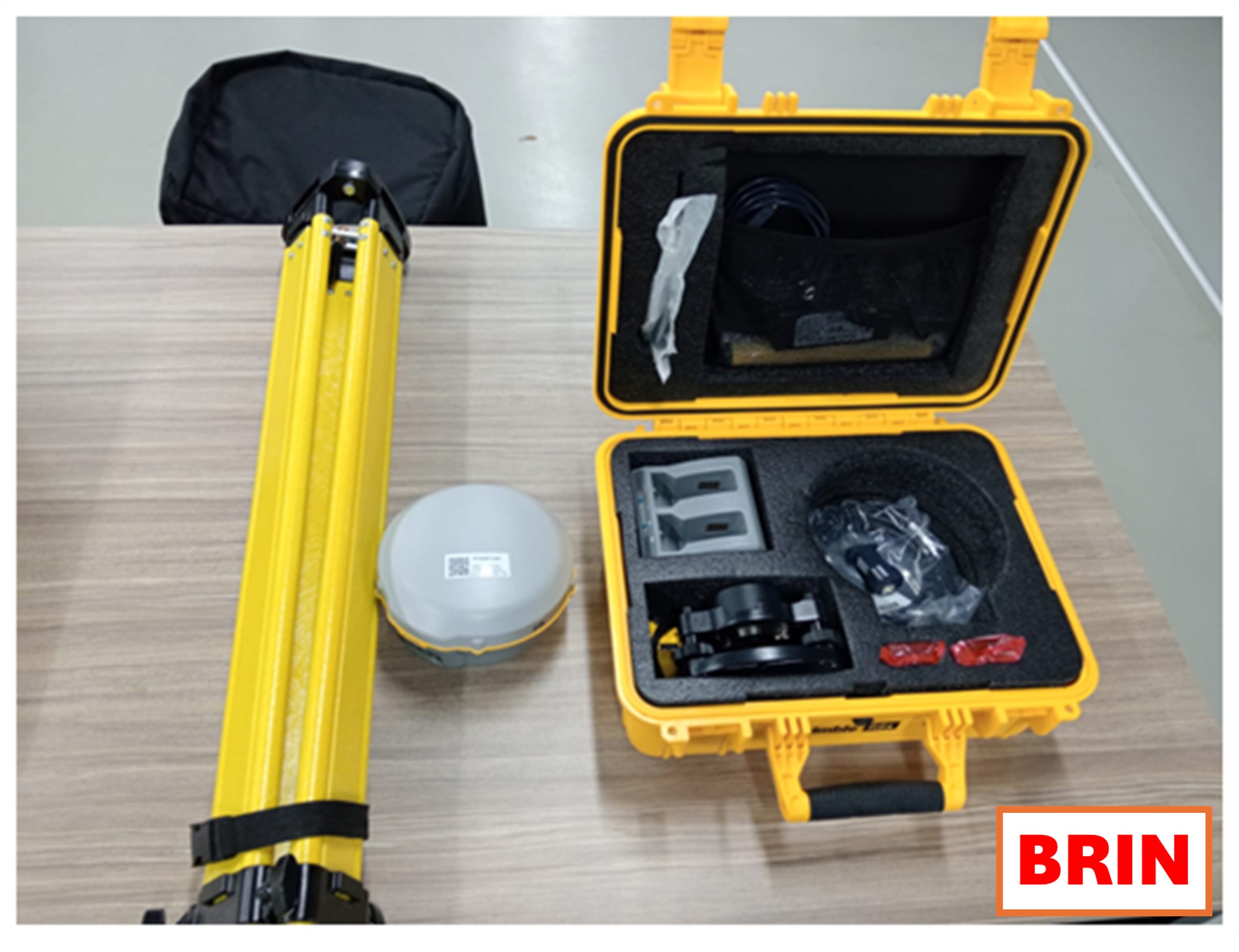
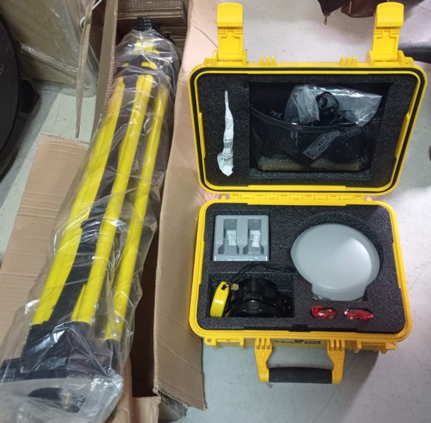
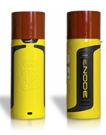
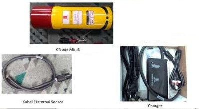
SERVICE DESCRIPTION | Trimble R8s is a multifunctional geodetic GPS receiver used for high-accuracy positioning measurements. The instrument supports modern GNSS (Global Navigation Satellite System) constellations such as GPS, GLONASS, Galileo, BeiDou, and QZSS. With Trimble…
- Laboratorium Geodiversitas
- KKI Kawasan Geodiversitas (Sukendar Asikin)
Kawasan Konservasi Ilmiah Geodiversitas JL. Karangsambung Km.19, Karangsambung, Kebumen, Jawa Tengah 54353 - 08156719080
- labgeodiversitas@brin.go.id
Marketing Office
Deputi Bidang Infrastruktur Riset dan Inovasi BRIN
layanan_sains@brin.go.id
Trimble R8s is a multifunctional geodetic GPS receiver used for high-accuracy positioning measurements.
The instrument supports modern GNSS (Global Navigation Satellite System) constellations such as GPS, GLONASS, Galileo, BeiDou, and QZSS.
With Trimble 360 receiver technology and RTK (Real-Time Kinematic) correction system, the R8s is capable of providing coordinate data with millimeter-level accuracy.


