SERVICE DESCRIPTION | MagLog™ is software with a multi-panel window format designed to display data from various sensor instruments. This software offers marine or airborne survey operators an easy-to-use yet sophisticated tool for data logging and display control. The program…
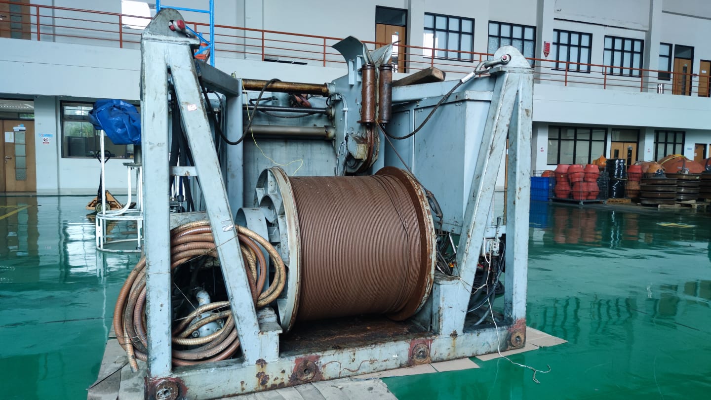
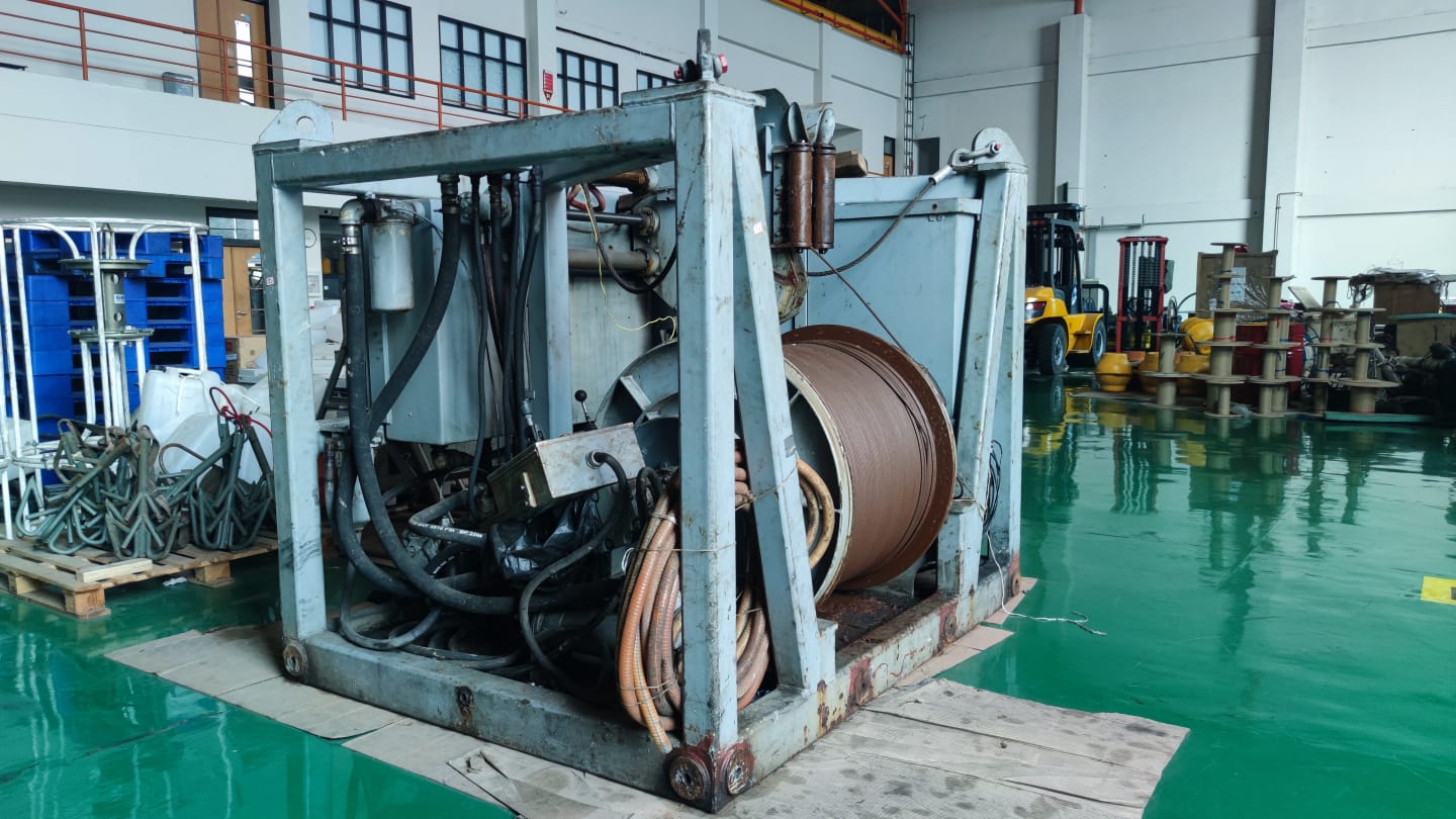
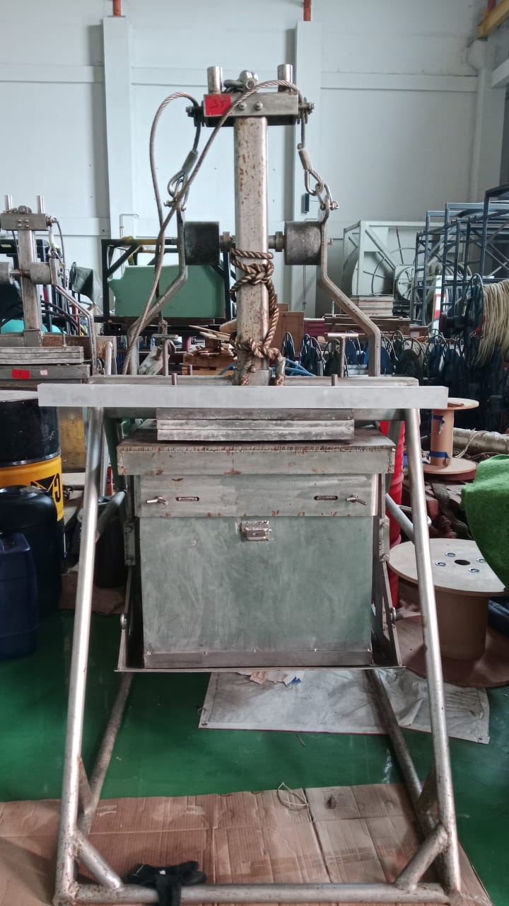
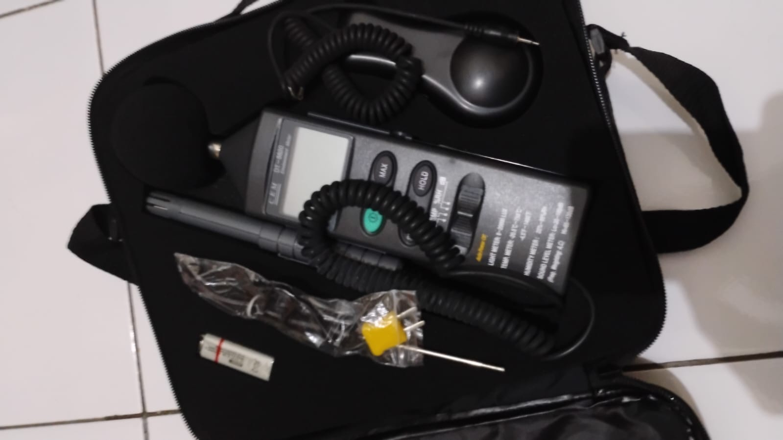
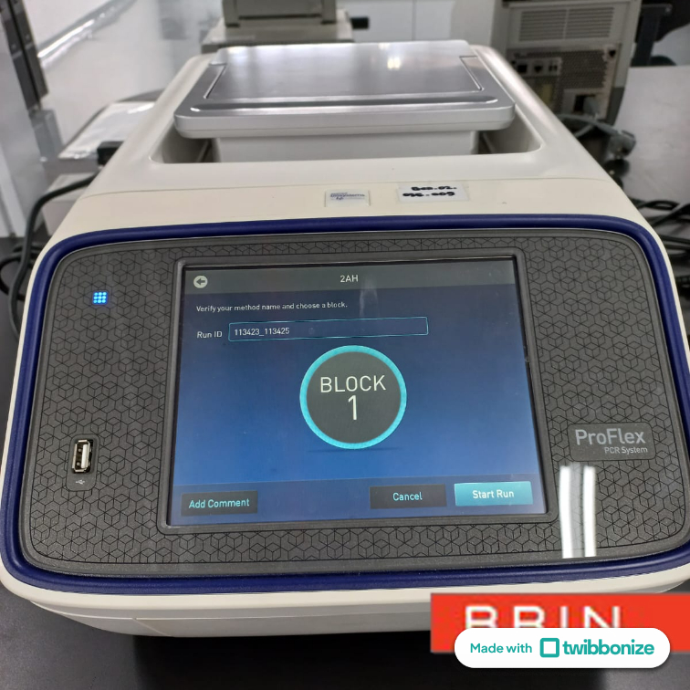
- Laboratorium Alat Survei - Alat Survei Geosains Darat
- KST Serpong (Bacharuddin Jusuf Habibie)
KST BJ Habibie Serpong Gedung 255 Laboratorium Alat Survei - 08119811551
- pengelolaan_alatsurvei@brin.go.id
MagLog™ is software with a multi-panel window format designed to display data from various sensor instruments. This software offers marine or airborne survey operators an easy-to-use yet sophisticated tool for data logging and display control. The program has superior data handling capabilities for logging, displaying, and printing multi-channel asynchronous data transmissions.
A single-sensor or multi-sensor gradiometer setup with depth, altitude, and/or differential GPS tracking data on a map overlay can easily be configured to be saved to disk, displayed, and printed using the step-by-step Configuration Wizard provided.
A dedicated GPS window is included that shows the real-time position of the fish (sensor) with full zoom control and survey path plotting. All position plots are available for output to PDF files, either for real-time hard copy or post-survey. Digital data is logged to disk and timestamped with accuracy up to 10 milliseconds.
MagLog interpolates the position of each sensor relative to the GPS position, converts to UTM coordinates if needed, and exports X, Y, Z or Latitude-Longitude-Magnetometer data files for further processing and analysis. A Go-No-Go warning light at the top of the screen alerts the operator if an error occurs or if data conditions exceed the set min/max levels or noise components defined by the user.
Key Features:
- Operating System Compatibility: Runs on Windows XP, 7, 8, and newer – supports multicore and multitasking operating systems.
- Real-Time Diagnostics: Performed on all data inputs, providing an audio alarm as immediate feedback if data is not sent, is out of range, or fails to meet other quality criteria.
- Asynchronous Data Logging (Multi-port Serial or TCP/IP): With GPS position for Marine Magnetometer systems or G-880 and G-882 Gradiometers.
- Survey Configuration Wizard: For automatic survey operation setup.
- Flexible Data Representation: Split-screen display makes it easier for the vehicle driver with a mini-window display.
- Automatic Updates: This feature automatically checks the Geometrics FTP site for newer program releases each time the program is opened.
- Complete Turnkey System: Offered by Geometrics, including Cesium Vapor or Proton Precession sensors, towing cables, winches, positioning systems, GPS drivers, data acquisition computers, as well as software and training for data processing and display.