Rp 1.200.000
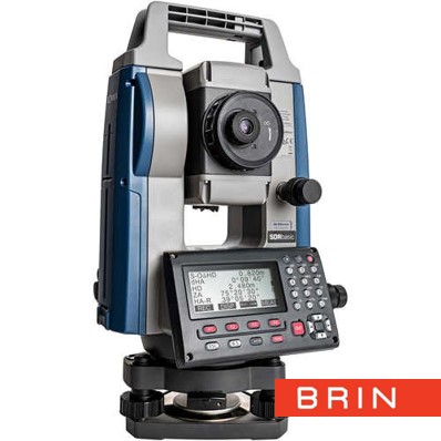
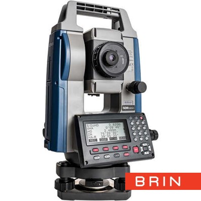
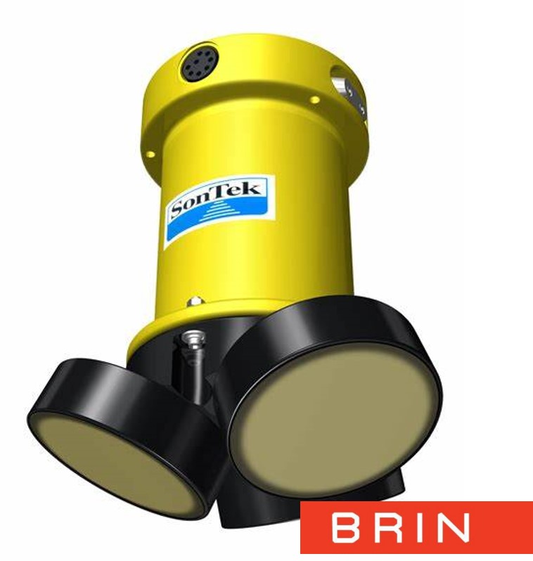
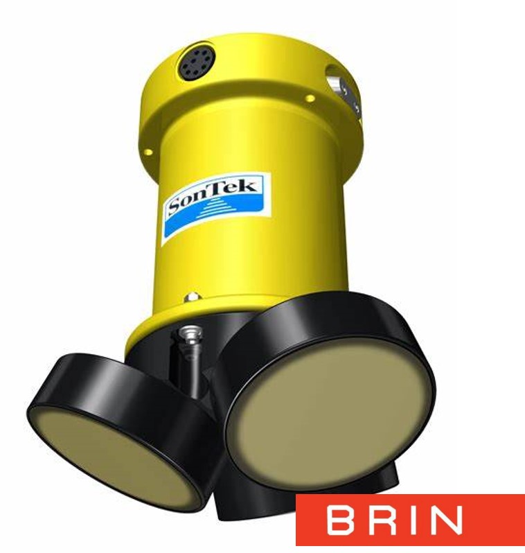
SERVICE DESCRIPTION | Coastal topography services involve the detailed survey and mapping of coastal areas, including the shoreline, tidal areas, and surrounding shallow waters. The goal is to collect accurate geospatial data on elevation, natural features, and man-made features…
- Laboratorium Pantai dan Dinamika Pantai (LPDP) - Sub Laboratorium Uji Model Numerik
- KS Mlati (Subandono Diposaptono)
Laboratorium Pantai dan Dinamika Pantai - BRIN Gd. Subandono Diposaptono - Kawasan BRIN Yogyakarta Mlati Jl.Grafika No.2 Sinduadi Mlati Sleman - D.I. Yogyakarta - 08119811589
- labipdpantai@brin.go.id
Coastal topography services involve the detailed survey and mapping of coastal areas, including the shoreline, tidal areas, and surrounding shallow waters. The goal is to collect accurate geospatial data on elevation, natural features, and man-made features in the area. This data is crucial for a variety of applications, from environmental management to infrastructure development.
Application Requirements:
Application Requirements:
- Photo
- Other Supporting File
| File Name | File Size | |
|---|---|---|
| Service SOP/Form file | 0.39 MB | |
| Template Photo | 0 MB | |
| Template Other Supporting File | 0 MB |


