
Rp 400.000
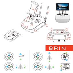
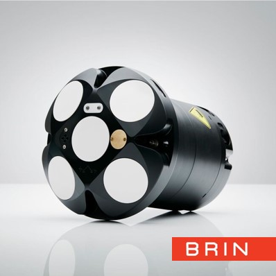
SERVICE DESCRIPTION | The aerial photo survey aims to observe the measurement area from a height. The data obtained are photo and video data. Photo data is obtained by first making the optimal flight path for the observation area. Specification 1. Hasselbald 1" sensor camera…
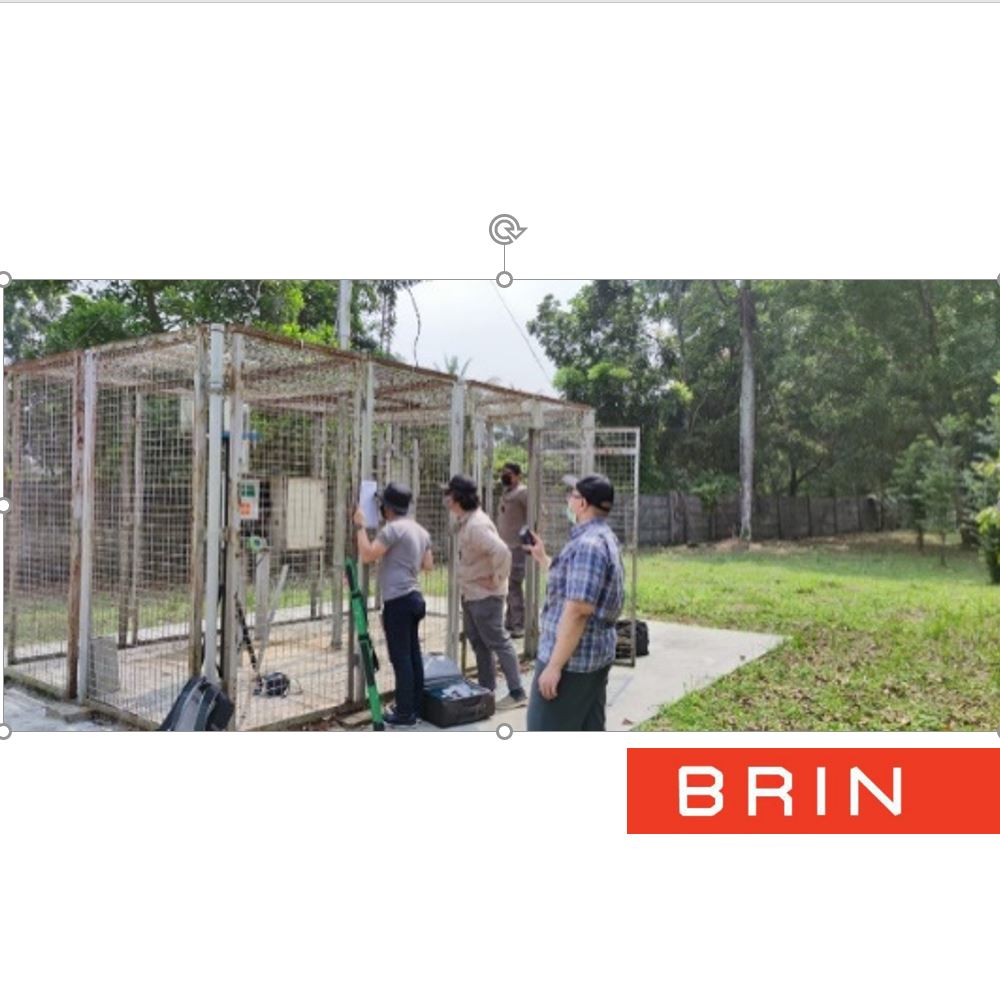
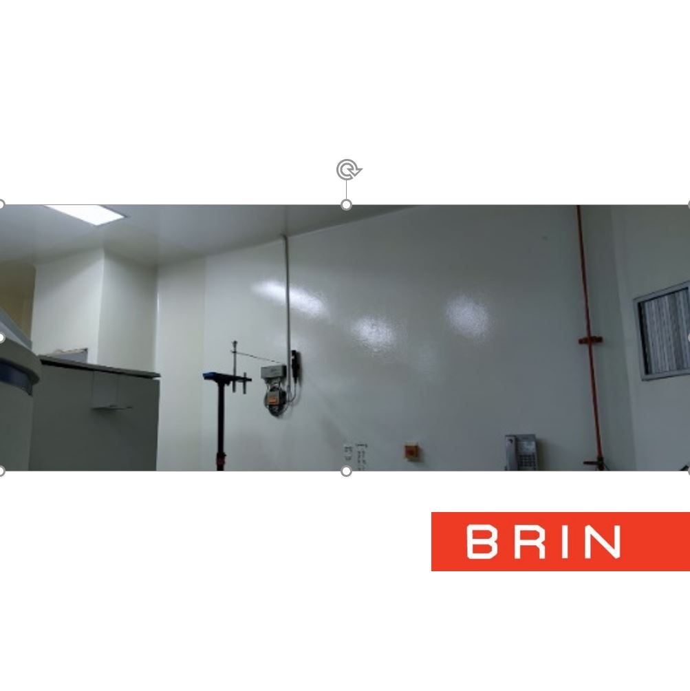
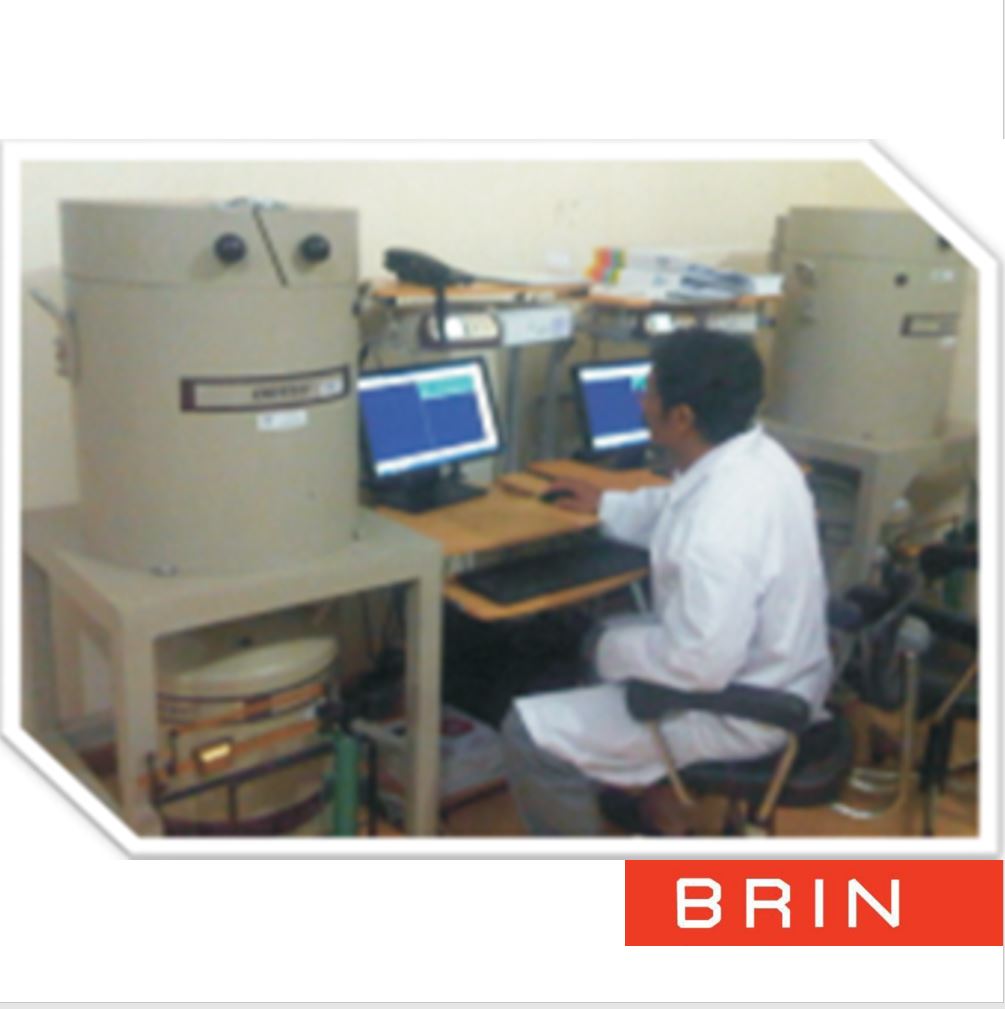
- Layanan Laboratorium Mekanika Fluida - Dinamika Pesisir dan Rekayasa Pantai - KS Subandono Diposaptono - Mlati
- KS Mlati (Subandono Diposaptono)
Jl. Grafika no. 2, Sinduadi, Mlati, Kab. Sleman, DI Yogyakarta 55284 - 08119811582
- labpantai@brin.go.id
The aerial photo survey aims to observe the measurement area from a height. The data obtained are photo and video data. Photo data is obtained by first making the optimal flight path for the observation area.
Specification
1. Hasselbald 1" sensor camera
2. 31 min Flight time
3. 72 kph Max Speed
4. Omnidirectional Obstacle Sensing
5. 8 km Video transmission
6. GPS and GLONASS satellite positioning system
7. Lens FOV: about 77°; 35 mm Format Equivalent: 28 mm
Aperture: f/2.8–f/11; Shooting Range: 1 m to
8. Electronic Shutter Speed : 8–1/8000s, Supported Micro SD Cards 128 G
9. Remote controller battery 3950 mAh
10. Weight 0.907 kg with Battery & Propellers
Application Requirements:
- Photo
- Other Supporting File
| File Name | File Size | |
|---|---|---|
| Service SOP/Form file | 1.15 MB | |
| Template Photo | 0 MB | |
| Template Other Supporting File | 0 MB |