Layanan Kontraktual
DESKRIPSI LAYANAN | Perangkat Lunak Akuisisi Data Multibeam Echosounder Perangkat Lunak (software) yang dapat digunakan untuk akuisisi data multibeam echosounder. Software akuisisi data batimetri dapat digunakan untuk melakukan perencanaan survei dan pelaksanaan survei…
- Laboratorium Alat Survei - Teknologi dan Instrumentasi
- Direktorat Pengelolaan Laboratorium, Fasilitas Riset, dan Kawasan Sains dan Teknologi
- Puspiptek - Serpong
KST BJ Habibie Serpong Gedung 255 Laboratorium Alat Survei - 08119811551
- pengelolaan_alatsurvei@brin.go.id
Marketing Office
Deputi Bidang Infrastruktur Riset dan Inovasi BRIN
layanan_sains@brin.go.id
Perangkat Lunak Akuisisi Data Multibeam Echosounder
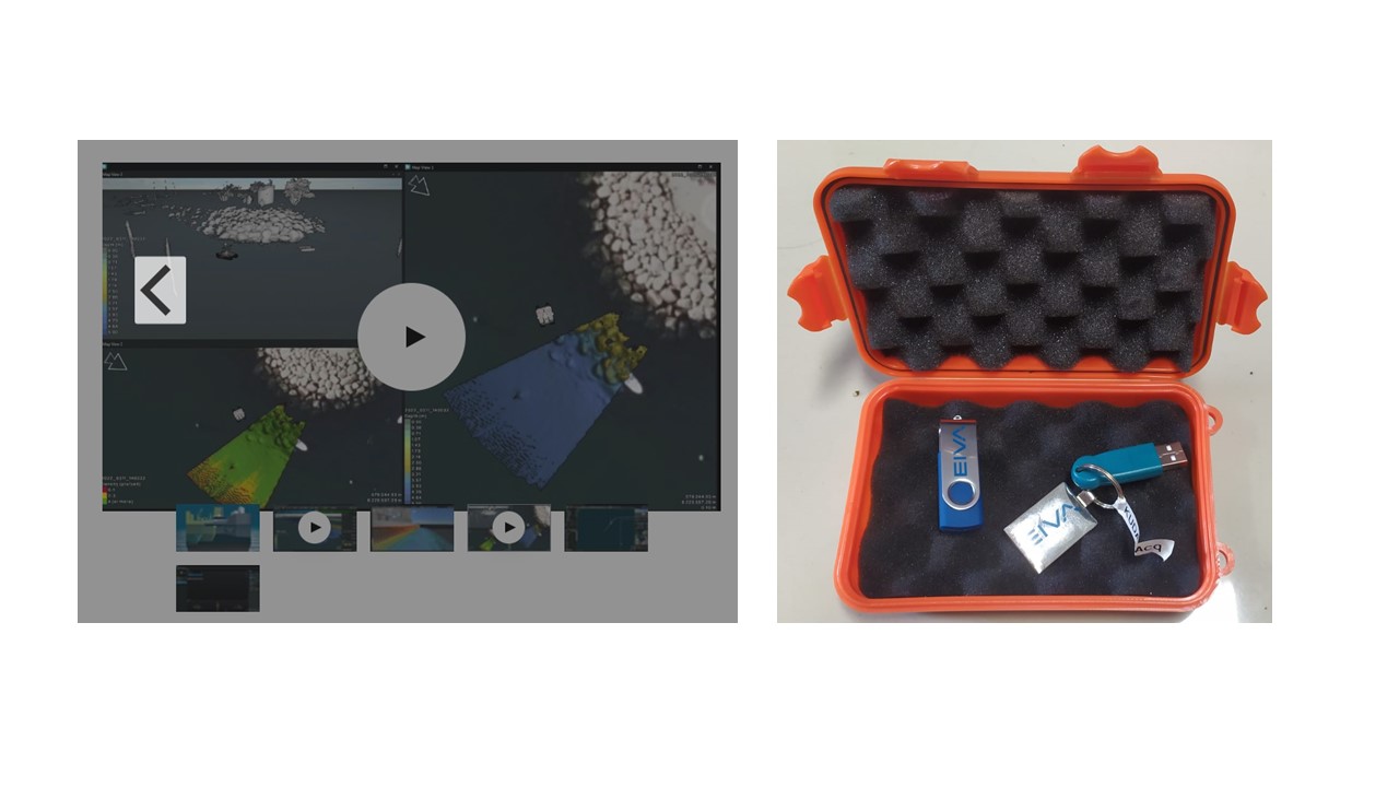
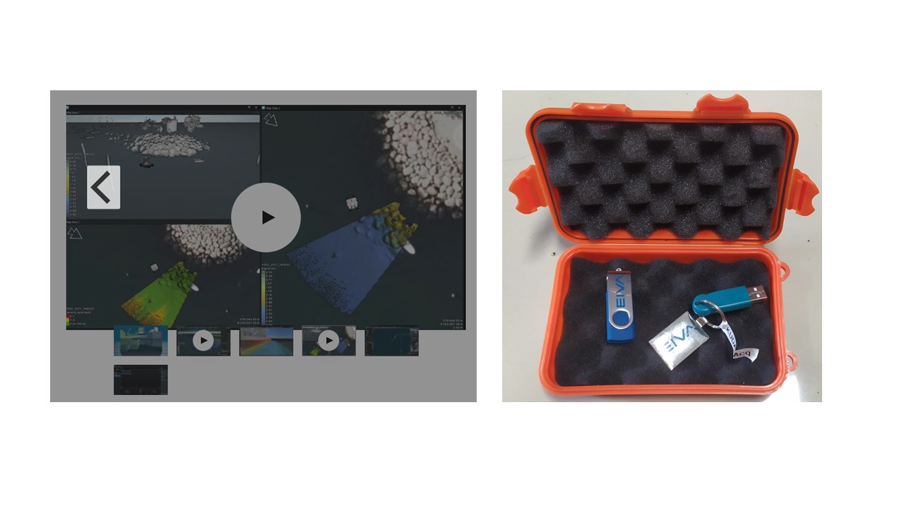
Perangkat Lunak (software) yang dapat digunakan untuk akuisisi data multibeam echosounder. Software akuisisi data batimetri dapat digunakan untuk melakukan perencanaan survei dan pelaksanaan survei batimetri. Software ini memiliki kemampuan untuk membuat jalur-jalur survei dan menampilkan peta rencana kerja (background peta) dari format CAD, Geotiff, ESRI dll. Pada saat survei, software yang dimaksud bisa dikonfigurasikan agar terhubung dan mampu merekam data dari alat Multi Beam Echosounder dan sensor pendukung (DGPS, MRU, heading sensor, online Sound Velocity) serta alat Side Scan Sonar (SSS), dan USBL dari berbagai merk dan tipe. Selain itu, juga bisa menampilkan posisi kapal dan hasil batimetri secara realtime. Dengan demikian, dengan software ini surveyor bisa langsung melakukan akuisisi data batimetri dengan mengikuti jalur-jalur survei yang telah direncanakan dan dapat melakukan Quality Control (QC) hasil survei secara real time.
Merek Perangkat Lunak:
EIVA Navisuite
Fungsi :
- Memiliki fungsi untuk survei akuisisi data navigasi, single beam, multibeam, dan side scan sonar.
- Memiliki fungsi untuk merekam data range (kedalaman) dan backscatter
- Memiliki fungsi untuk melakukan post processing data singlebeam echosounder dan multibeam echosounder khusus untuk kalibrasi patch test



![[TA] KR10 - Pemodelan Tsunami (pengaruh vegetasi dan gumuk pasir) di Bantul](https://elsa.brin.go.id/public/images/layanan/small/layanan.jpg)
