Rp 0
SERVICE DESCRIPTION | SonarWiz 4 Description SonarWiz.MAP 4 is a fast, user-friendly acoustic mapping package designed to generate real-time mosaics and post-processed mosaics from most sidescan sonar and acoustic data files. In real-time mode, mosaics can be generated on-the-fly…
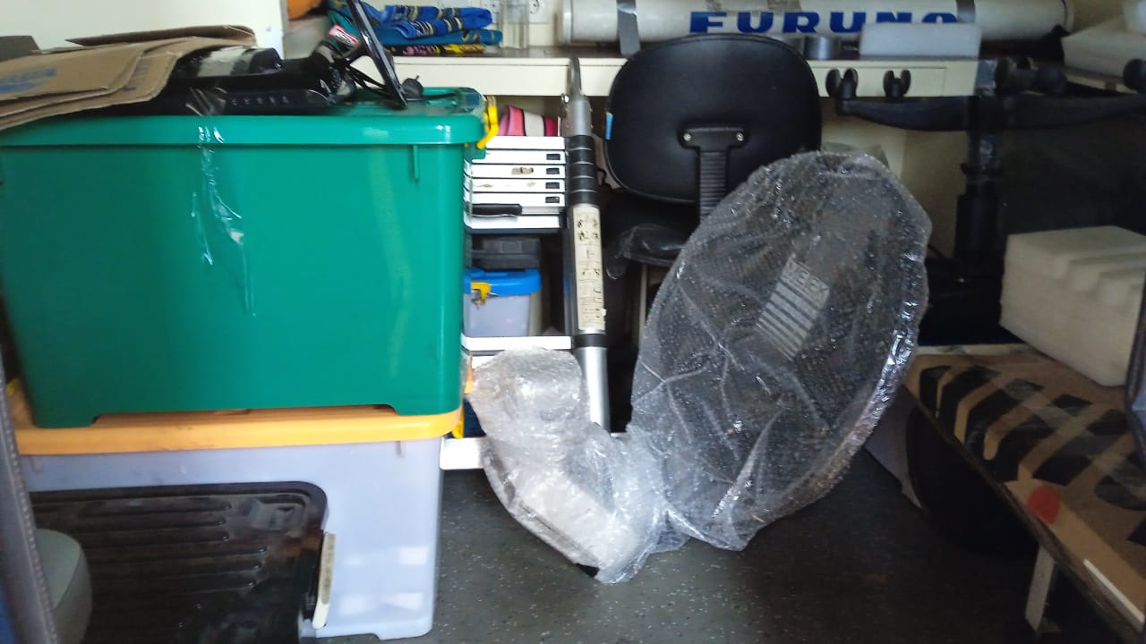
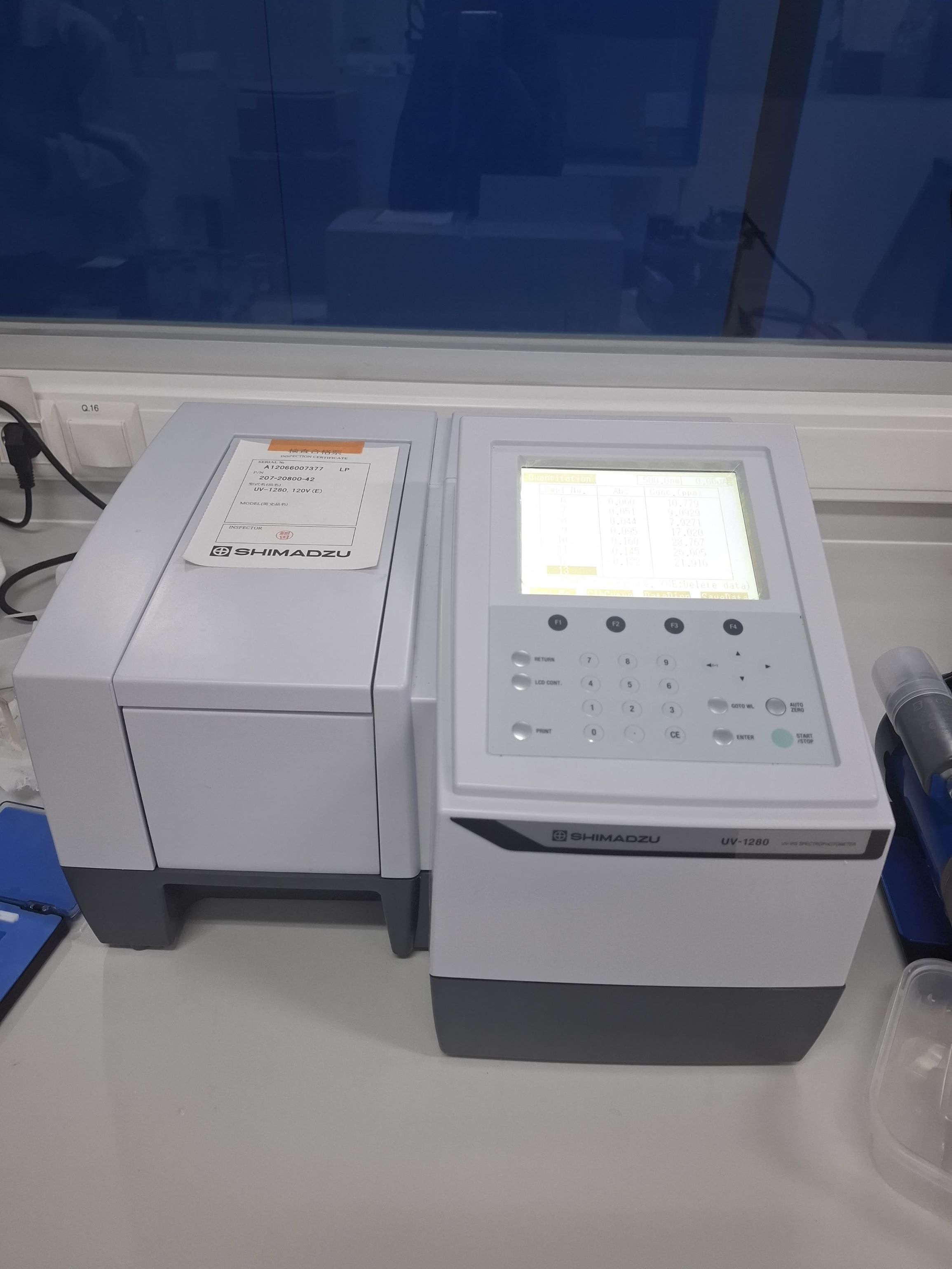
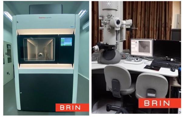
- Laboratorium Alat Survei - Kelautan dan Lingkungan
- KST Serpong (Bacharuddin Jusuf Habibie)
KST BJ Habibie Serpong Gedung 255 Laboratorium Alat Survei - 08119811551
- pengelolaan_alatsurvei@brin.go.id
Marketing Office
Deputi Bidang Infrastruktur Riset dan Inovasi BRIN
layanan_sains@brin.go.id
SonarWiz 4 Description
SonarWiz.MAP 4 is a fast, user-friendly acoustic mapping package designed to generate real-time mosaics and post-processed mosaics from most sidescan sonar and acoustic data files.
- In real-time mode, mosaics can be generated on-the-fly with any resolution and size. Support is provided for navigation, fathometer, and magnetometer inputs, and operators can control image quality, layback, seabed tracking, and navigation.
- In post-processing mode, the software can handle most common acoustic data file types, as well as geographically referenced images (such as KAP, TIFF, JPEG, and BMP), and vector files (such as ESRI Shapefiles).
- In both modes, visualization tools such as zoom, pan, measurement, and on-the-fly image scaling are available to enhance mosaic production and interpretation. Base maps (raster images) and additional layers (vector files) can be displayed to add visual context and perspective to the mosaic.
- Data export can be performed in a variety of formats, including graphics, tables, and application-specific files (such as HTML, MS Word, DXF, ESRI Shapefiles, Google Earth KMZ, and 3D views), providing various export routes for data.
SonarWiz.MAP Features:
- SonarWiz.MAP can connect to two separate servers with different trigger intervals and recording lengths. This feature allows SonarWiz.MAP to simultaneously acquire Side Scan Sonar (SSS) and Sub-Bottom Profiler (SBP) data at different speeds and recording lengths.
- Supports most sonar systems, as well as input from navigation, fathometer, and magnetometer.
- Real-time and Post-Processing Sonar Mosaic Production:
- Real-Time Survey Line Generator, Editor, and Steering Indicator
- Sonar Waterfall View for Real-Time Quality Control (QC)
- Interactive and On-the-Fly Scaling
- Mosaic Output to GeoTiff (TIF/TFW) Format with Customizable Resolution
- Output of Digitized Features and Reports to Various Formats, ESRI Shapefiles, AutoCAD DXF, Simple ASCII Files
- Customer Support
- Annual Maintenance Agreement for Upgrade Options and Extended Support