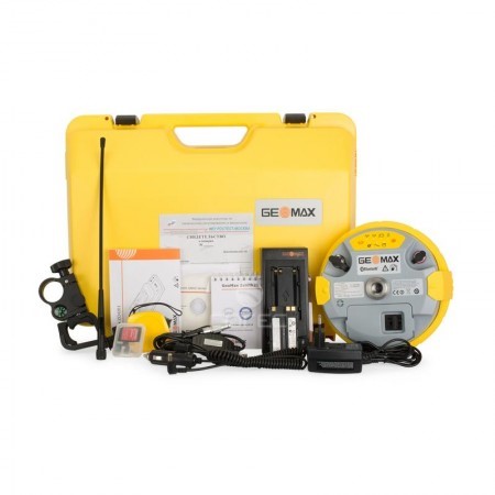
SERVICE DESCRIPTION | HYDROpro™ Trimble software is a fully integrated and user-friendly solution for modern hydrographic surveyors. Designed with a focus on superior performance and efficiency, this software allows significant productivity gains, even in the most complex…
- Laboratorium Alat Survei - Kelautan dan Lingkungan
- KST Serpong (Bacharuddin Jusuf Habibie)
KST BJ Habibie Serpong Gedung 255 Laboratorium Alat Survei - 08119811551
- pengelolaan_alatsurvei@brin.go.id
HYDROpro™ Trimble software is a fully integrated and user-friendly solution for modern hydrographic surveyors. Designed with a focus on superior performance and efficiency, this software allows significant productivity gains, even in the most complex marine survey applications. HYDROpro software is built on over a decade of industry-based development and experience. It combines many strengths of its predecessor, HYDRO™ software, with the latest technological advancements to meet the demands of today and the future. HYDROpro software operates on Windows 95/98 and Windows NT. The software provides an intuitive graphical interface and flexible configuration to enable data acquisition with minimal training. It supports multiple sensor inputs, from directional sensors to tide gauges and echo sounders. Combined with popular Trimble DGPS or RTK receivers, this software provides precise 3D positioning in real-time. HYDROpro uses advanced time-stamping techniques for precise data synchronization. All data is stored in a single Microsoft Access database file for more efficient file management activities. The flexible operation of HYDROpro allows multiple vessels and guide objects (paths, routes, and targets) to be monitored from one location or via a network. Background files can be displayed graphically to show positions in relation to guide objects, coastal features, and more. The simple file structure and graphical editor allow depth and tide data to be filtered, edited, and integrated more efficiently than ever before. The comprehensive system includes proven post-processing and plotting modules: Contour, Profile, Volume, and Digitization. Along with the online navigation software, these modules make HYDROpro one of the most complete hydrographic survey packages available.
TECHNICAL SPECIFICATIONS
Minimum Configuration
Processor: Pentium 100
RAM: 32MB
Hard drive: 1GB
Monitor: 800x600 minimum resolution
CD ROM drive: Internal or External
Operating system: Windows 95/98 or Windows NT
Recommended Configuration
Processor: Pentium 166
RAM: 64MB
Hard drive: 2GB
Monitor: 17" SVGA
CD ROM drive: Internal or External
Operating system: Windows NT