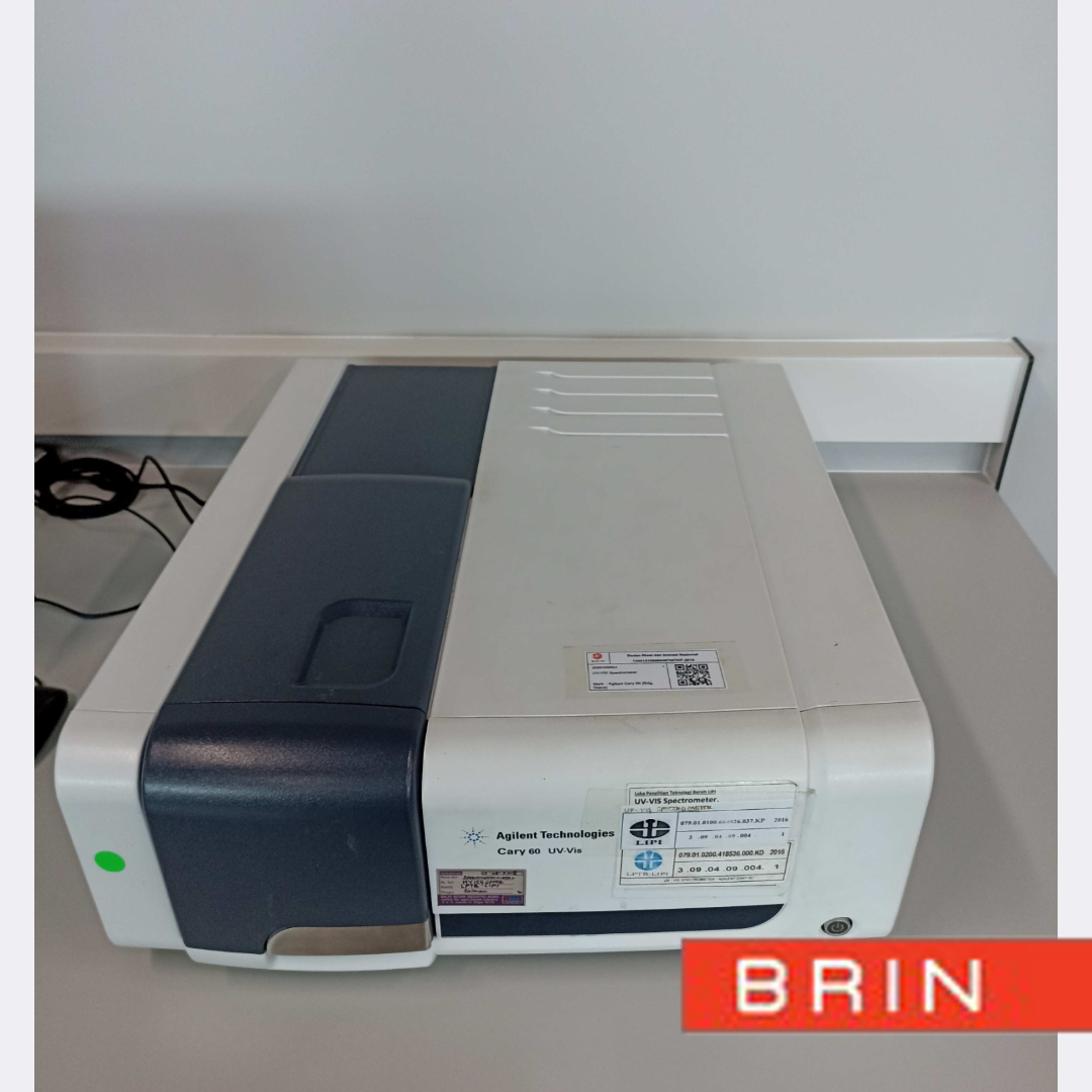
Layanan Kontraktual
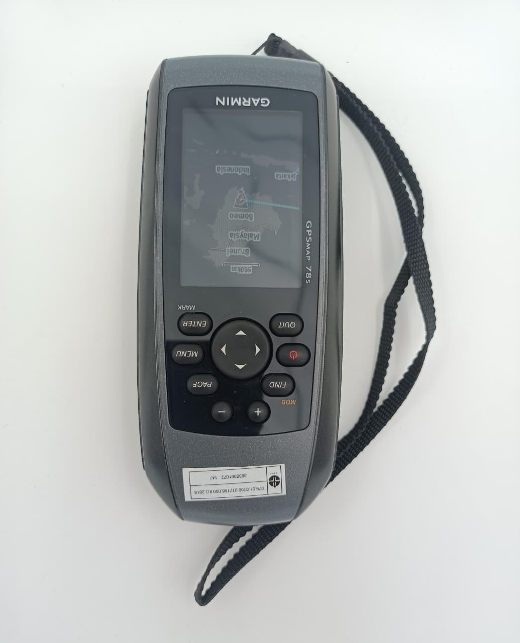
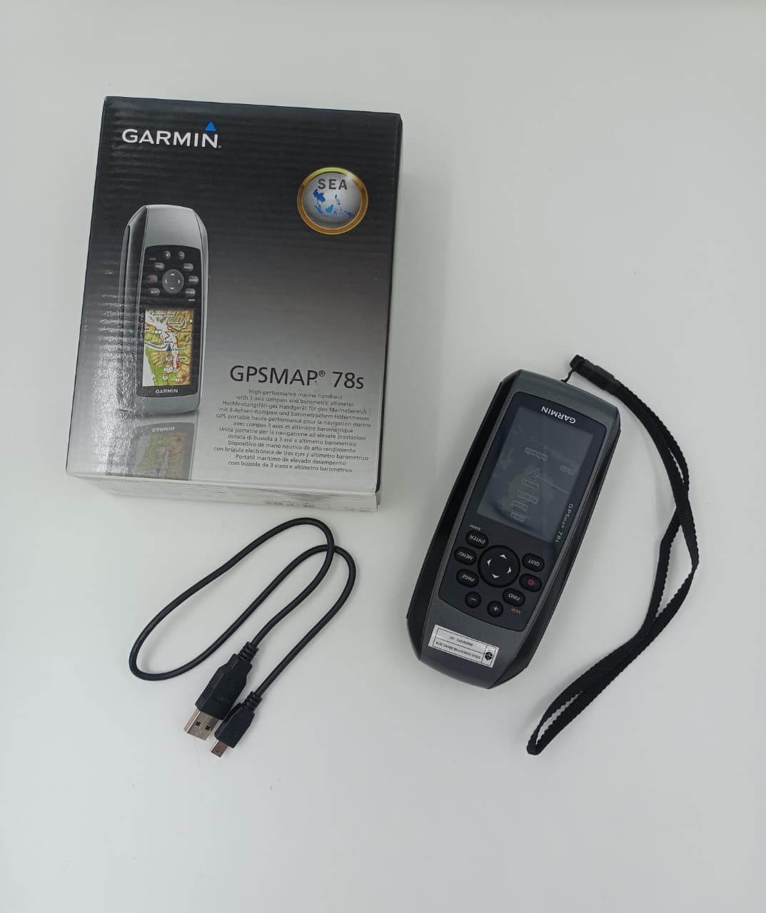
DESKRIPSI LAYANAN | Garmin GPSMAP 78s adalah perangkat GPS handheld tangguh yang dirancang untuk kegiatan survei dan navigasi lapangan, terutama di lingkungan outdoor dan perairan karena desainnya yang mengapung (floatable) dan tahan air standar IPX7. Dilengkapi dengan…
- Laboratorium Alat Survei - Geospatial dan Kartografi
- Direktorat Pengelolaan Laboratorium, Fasilitas Riset, dan Kawasan Sains dan Teknologi
- KST Serpong (Bacharuddin Jusuf Habibie)
KST BJ Habibie Serpong Gedung 255 Laboratorium Alat Survei - 08119811551
- pengelolaan_alatsurvei@brin.go.id
Marketing Office
Deputi Bidang Infrastruktur Riset dan Inovasi BRIN
layanan_sains@brin.go.id
Garmin GPSMAP 78s adalah perangkat GPS handheld tangguh yang dirancang untuk kegiatan survei dan navigasi lapangan, terutama di lingkungan outdoor dan perairan karena desainnya yang mengapung (floatable) dan tahan air standar IPX7. Dilengkapi dengan layar 2,6 inci berwarna yang tetap terbaca di bawah sinar matahari, perangkat ini menggunakan receiver GPS ber-sensitivitas tinggi dengan dukungan WAAS/EGNOS untuk akurasi posisi yang lebih baik, serta kompas elektronik 3-axis dan altimeter barometrik untuk pengukuran arah dan ketinggian yang presisi. GPSMAP 78s memiliki memori internal dan slot microSD untuk penyimpanan peta tambahan, mendukung berbagai format peta Garmin, serta mampu merekam track log, waypoint, dan rute. Ditenagai oleh 2 baterai AA dengan daya tahan hingga sekitar 20 jam, alat ini juga dilengkapi konektivitas USB untuk transfer data, menjadikannya pilihan andal untuk survei pemetaan, eksplorasi, dan navigasi profesional di medan berat.