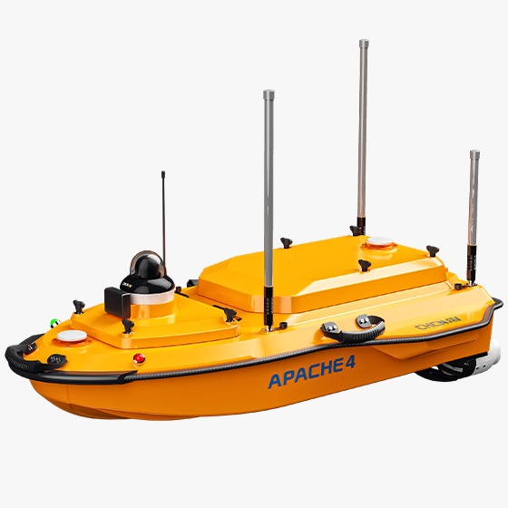
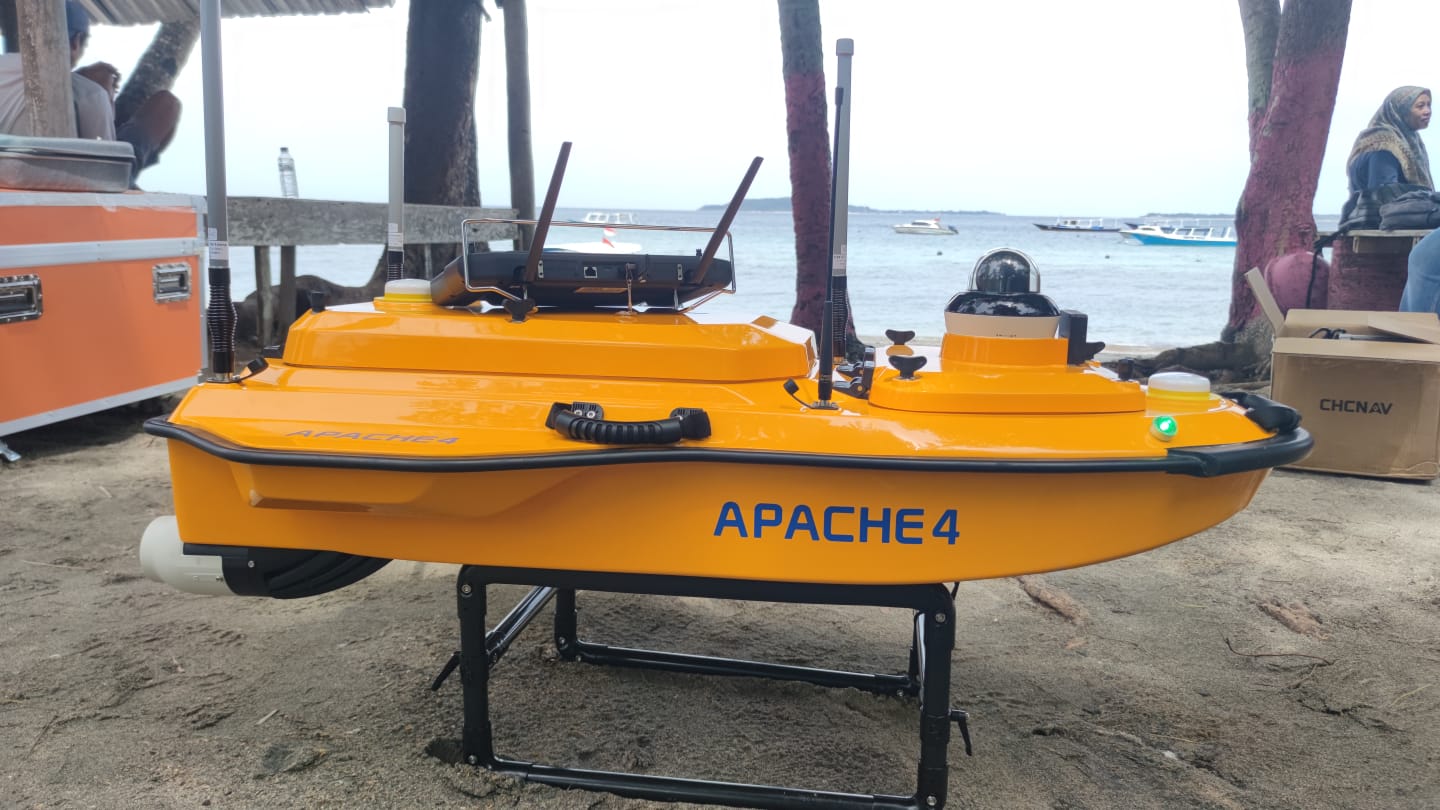
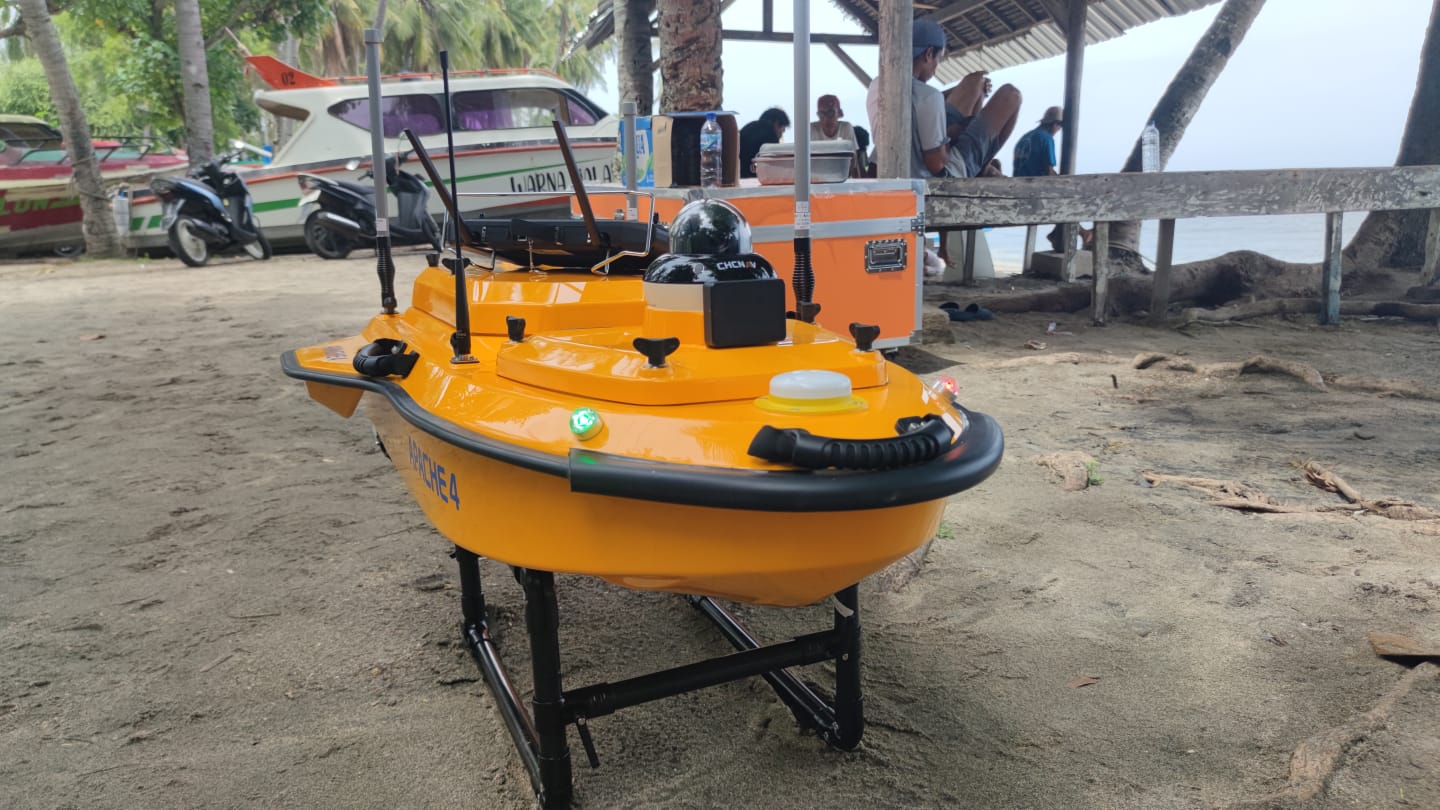
SERVICE DESCRIPTION | Spesification 1. Physical Equipment: Autonomous Platform and Propulsion a. Autonomous Platform: Dimensions: 1200 mm × 750 mm × 400 mm GNSS: Internal dual-antenna GNSS Weight: 13 kg Material: High-strength, high-modulus carbon fiber Camera: 360° omnidirectional…
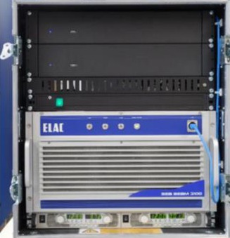
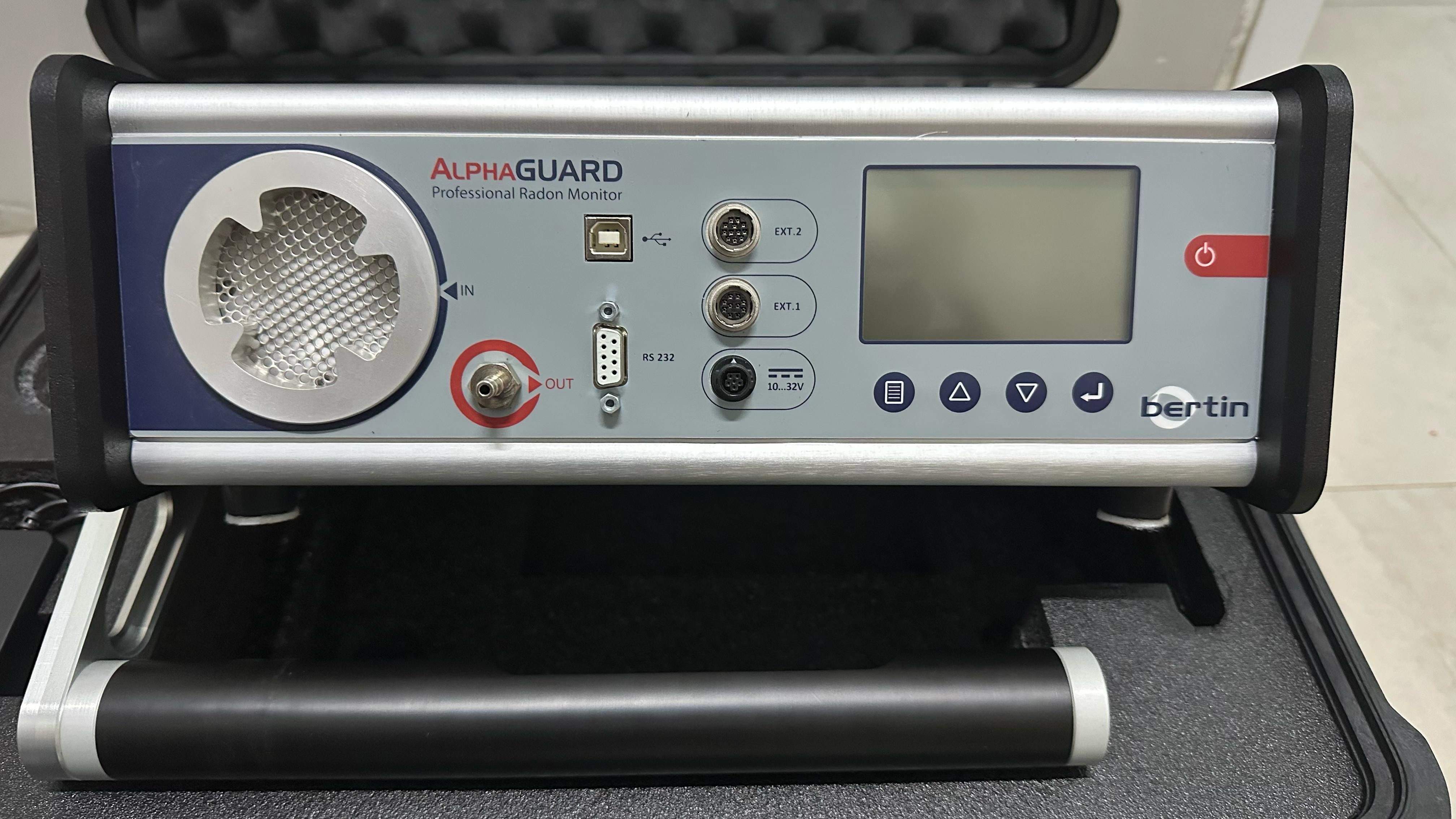
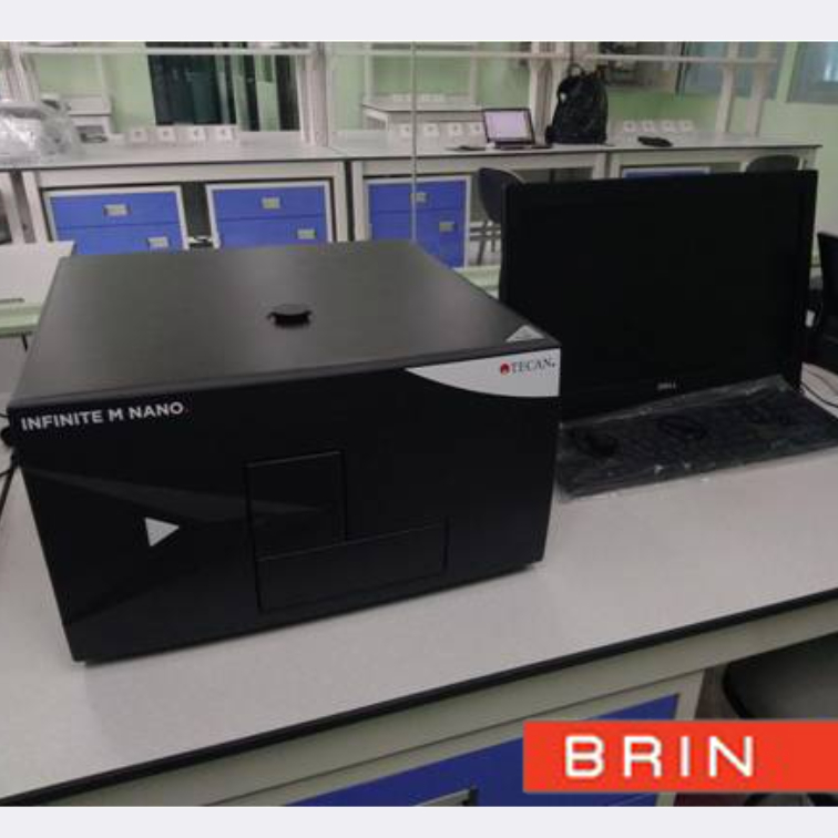
- Laboratorium Alat Survei - Kelautan dan Lingkungan
- KST Serpong (Bacharuddin Jusuf Habibie)
KST BJ Habibie Serpong Gedung 255 Laboratorium Alat Survei - 08119811551
- pengelolaan_alatsurvei@brin.go.id
1. Physical Equipment: Autonomous Platform and Propulsion
a. Autonomous Platform:
-
Dimensions: 1200 mm × 750 mm × 400 mm
-
GNSS: Internal dual-antenna GNSS
-
Weight: 13 kg
-
Material: High-strength, high-modulus carbon fiber
-
Camera: 360° omnidirectional video
-
Light Indicator: Two-color (positioning and differential signal)
-
Draft: 8.6 cm
-
Instruments: Integrated compact multibeam echosounder and singlebeam echosounder
b. Propulsion:
-
Type: Brushless DC
-
Direct Control: Veering without steering engine
-
Power: 800 W
-
Speed: 7200 ±5% RPM
-
Battery Capacity: 32.4 V, 23.1 Ah
-
Motor Installation: Pluggable
-
Maximum Speed: 6.5 m/s
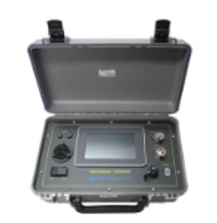
2. Controller and Communicationa. Controller:
-
Dimensions: 346 mm × 196.5 mm × 89.4 mm
-
Display Screen: 10-inch
-
b. Communication:
-
Data Communication: Standard 4G and Remote Control
-
Remote Control Range: 1 km (remote), unlimited (4G)
-
SIM Card Slot: Nano SIM
-
Reserved Interfaces: 2 × RJ45 ports, 2 × RS232 serial ports
-
Navigation Mode: Manual or autopilot
-
Data Storage: Local (multi-channel) and remote
-
Resolution Ratio: 1920 × 1200
-
Storage: RAM 4 GB, Storage 64 GB
-
Battery Endurance: 5 hours
-
Communication Frequency: 2.4 GHz, USB, Nano SIM