Layanan Kontraktual
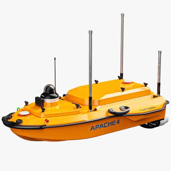
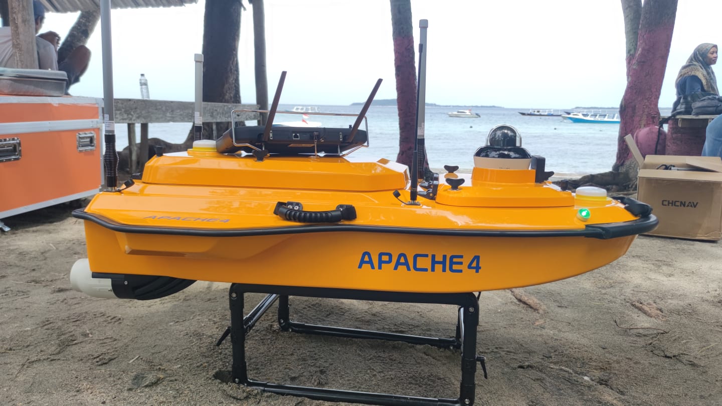
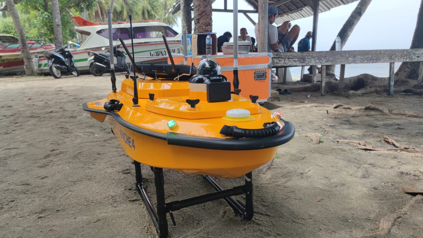
DESKRIPSI LAYANAN | Spesifikasi 1. Peralatan fisik : Wahana autonomous dan propulsi a. Wahana autonomous : Dimensi : 1200 mm x 750 mm x 400 mm GNSS : Intrenal GNSS dual antenna Berat : 13 kg Material : high strength, high modulus carbon fiber Camera : 360° omnidirectional…
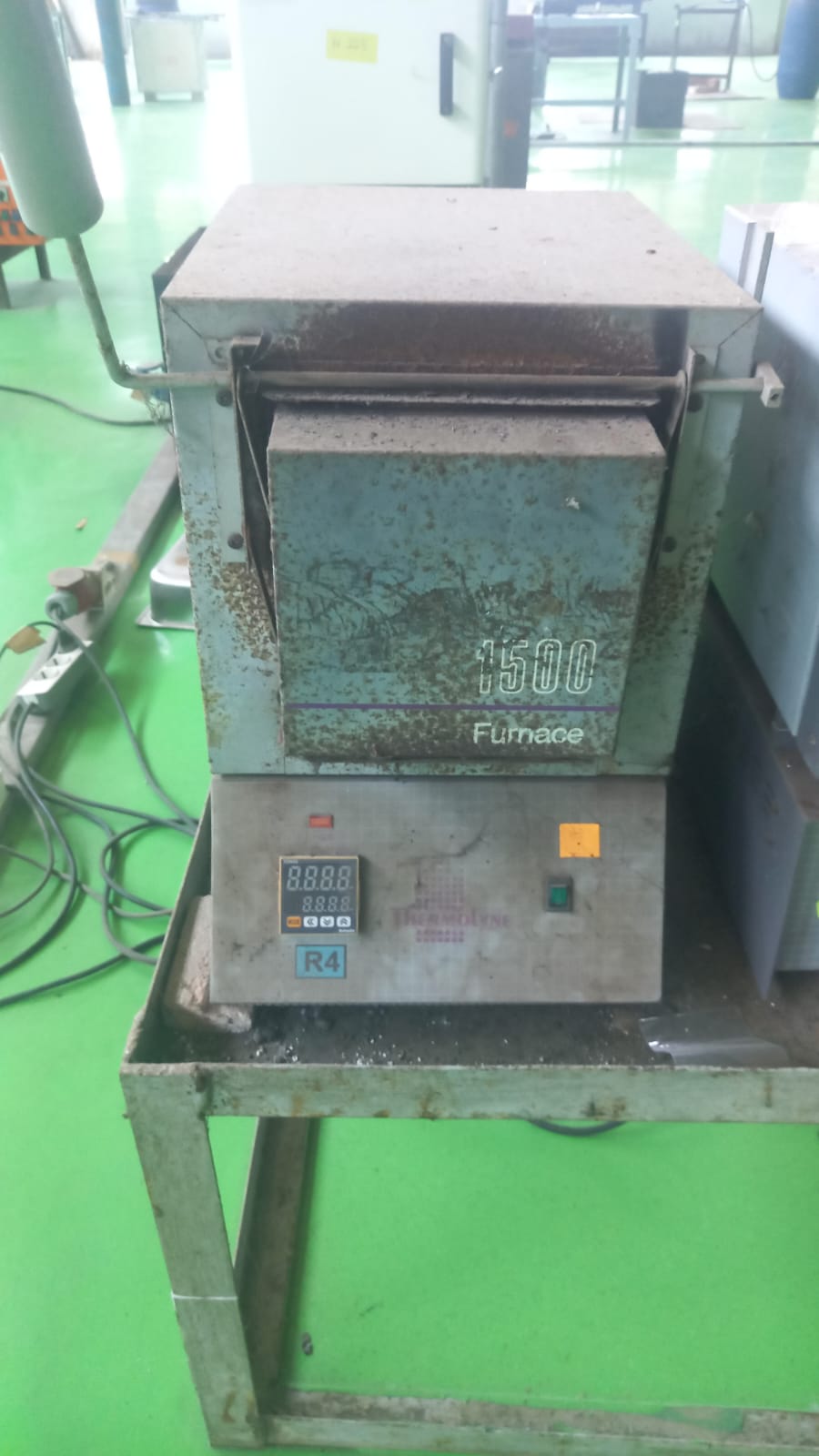
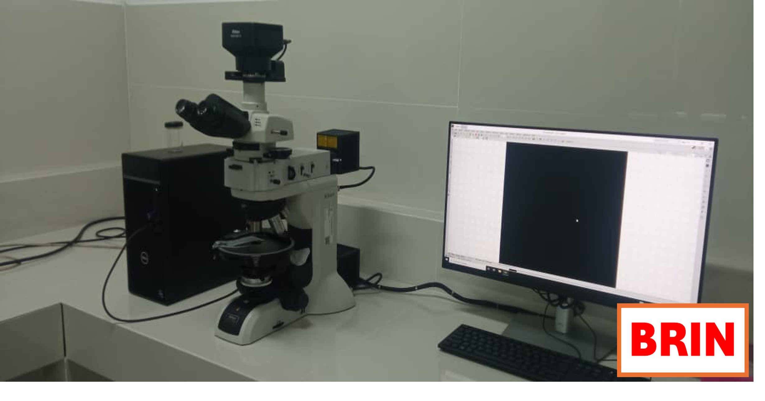
- Laboratorium Alat Survei - Kelautan dan Lingkungan
- Direktorat Pengelolaan Laboratorium, Fasilitas Riset, dan Kawasan Sains dan Teknologi
- KST Serpong (Bacharuddin Jusuf Habibie)
KST BJ Habibie Serpong Gedung 255 Laboratorium Alat Survei - 08119811551
- pengelolaan_alatsurvei@brin.go.id
Marketing Office
Deputi Bidang Infrastruktur Riset dan Inovasi BRIN
layanan_sains@brin.go.id
Spesifikasi
1. Peralatan fisik : Wahana autonomous dan propulsi
a. Wahana autonomous :
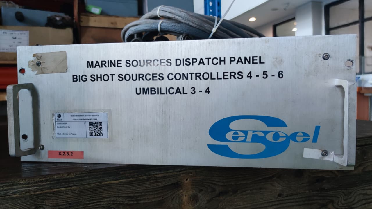
2. Controller dan komunikasi
a. Controller :
3. Peralatan penentuan posisi kedalaman dan software
1. Peralatan fisik : Wahana autonomous dan propulsi
a. Wahana autonomous :
- Dimensi : 1200 mm x 750 mm x 400 mm
- GNSS : Intrenal GNSS dual antenna
- Berat : 13 kg
- Material : high strength, high modulus carbon fiber
- Camera : 360° omnidirectional video
- Indikator Lampu : dua warna ( positioning dan differential signal)
- Draft : 8,6 cm
- Instrumen : integrated compact multibeam echosounder, dan singlebeam
- Propulsi :
- Tipe : Brushless dC
- Control langsung : Veering without steering engine
- Daya : 800 W
- Kecepatan : 7200 ±5% RPM
- Kapasitas Baterai : 32,4 V , 23.1 Ah
- Instalasi Motor : Pluggable
- Kecepatan Maksimum : 6.5 m/s
2. Controller dan komunikasi
a. Controller :
- Dimensi : 346 mm x 196.5 mm x 89.4 mm
- Display screen : 10 inch
- Rasio resolusi : 1920 x 1200
- Penyimapanan : RAM : 4 GB stirage 64 GB
- Battery Endurance : 5 h
- Frekuensi Komunikasi : 2.4 GHz, USB, Nano SIM
- Komunikasi
- Data komunikasi : Standar 4G dan Remote Control
- Range Remote Control : 1 km (remote), unlimited (4G)
- Sim Card Slot : Nano SIM
- Reserved Interface : 2 x RJ45 ports, 2 x RS232 serial ports
- Mode Navigasi : Manual atau auto pilot
- Penyimpanan data : lokal ( multi channel) dan remote
3. Peralatan penentuan posisi kedalaman dan software
- Sistem Satelit : BDS B1I/B2I /B3I、GPS L1C/A/L2P(Y)/L2C/L5、Galileo E1/E5a/E5b、GLONASS L1/L2、QZSS L1/L2/L5
- Single Point Position (RMS) : Horizontal : 1,5 m Vertical : 2,5 m
- DGNSS Positioning Accuracy : 0.4 m+ 1 ppm
- RTK Positioning Accuracy : Horizontal: ±8 mm + 1 ppm Vertical: ±15 mm + 1 ppm
- Radio Protocol : Satel 3AS, CHC (1) , TT450, Transparent
- Heading Accuracy : 0.1 0 @1 m baseline
- Inertial Navigation Stability : 6 0/ h (accuracy attenuation 1 m after 20 s)
- IMU Update Rate : 200 Hz
- Software